Welcome to RTKSurvey.com

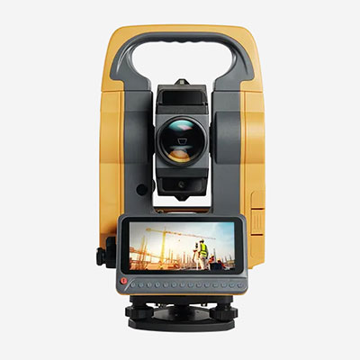
CHCNAV HCE600 GNSS Data Collector
CHCNAV HCE600 GNSS Data Collector
Android Field Controller for GNSS Surveying
The CHCNAV HCE600 is a rugged handheld data collector developed for GNSS RTK surveying, mapping, and construction measurement.
Designed for use with compatible GNSS receivers, it brings survey maps, measurement records, and field operations together in a portable Android controller.
Clear Display for Maps and Survey Data
The HCE600 features a 5.5-inch HD+ touchscreen designed for outdoor visibility.
Surveyors can view project maps, coordinate information, and drawing files directly on the controller, reducing the need to return to the office to review basic field data.
Its compact design and physical keypad provide alternative input methods for everyday surveying operations.
Connectivity for RTK Fieldwork
With Bluetooth, Wi-Fi, and cellular connectivity, the HCE600 supports communication with compatible GNSS equipment and access to network RTK correction services.
This makes it suitable for field teams working across different survey locations where reliable data communication is important.
LandStar Surveying Software
The HCE600 supports CHCNAV LandStar surveying software for common GNSS field operations, including point measurement, stakeout, project management, and survey data exchange.
Software availability, licensing, and supported functions should be confirmed for the selected configuration.
Applications
GNSS RTK topographic surveys
Construction layout and point stakeout
Land surveying and control point measurements
Field mapping and survey data management
CHCNAV HCE600 Wholesale Supply
RTKSurvey.com supplies CHCNAV HCE600 data collectors for surveying equipment distributors and professional field teams.
Contact us to confirm available configurations, software licensing, compatible GNSS receivers, and wholesale quotations.