Welcome to RTKSurvey.com

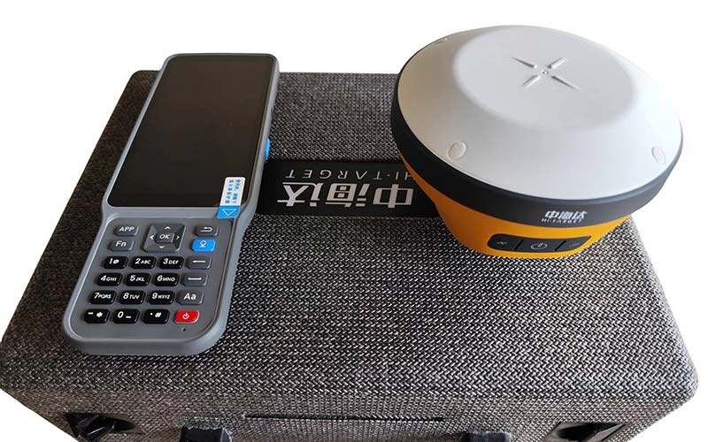
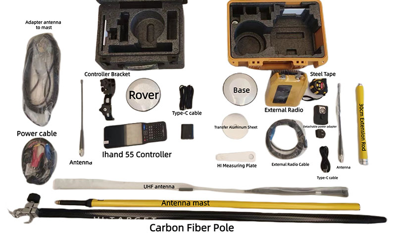
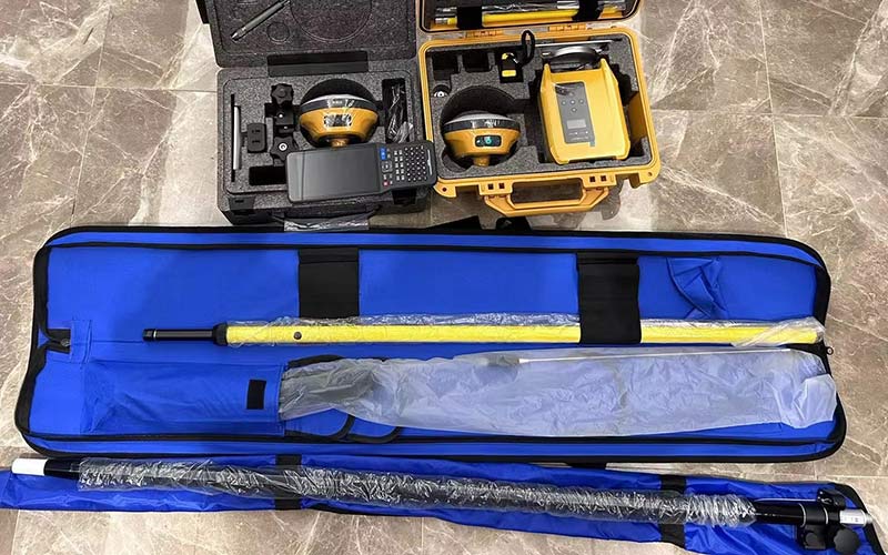
Hi-Target V200 GNSS RTK Receiver
The Hi-Target V200 is a lightweight GNSS RTK receiver designed for efficient land surveying and everyday field positioning. It combines a new-generation 9-axis IMU, advanced RTK engine and high-performance patch antenna to support reliable positioning and tilt surveying in demanding field conditions. Hi-Fix technology helps maintain positioning continuity when RTK correction signals are temporarily interrupted. RTKSurvey.com supplies the Hi-Target V200 for surveying, construction and engineering applications.
Key Features
9-axis IMU for efficient tilt surveying
Advanced RTK engine for reliable GNSS positioning
High-performance patch antenna for improved low-elevation satellite tracking
Hi-Fix technology for continued positioning during temporary correction outages
Multi-protocol UHF radio with transmit and receive capability
Lightweight and portable design for field surveying
Support for tilt surveying without traditional bubble leveling
Web UI and multiple communication options for flexible field operation
Why Choose the Hi-Target V200?
The Hi-Target V200 combines a compact design with practical GNSS RTK capabilities for everyday field surveying. Its 9-axis IMU helps improve field efficiency when measuring points that are difficult to center, while the high-performance patch antenna supports stable satellite tracking. Hi-Fix adds another layer of reliability when correction signals are temporarily unavailable.
For surveyors who need a lightweight RTK receiver without giving up essential field functions, the V200 provides a practical balance of portability, positioning performance and operational flexibility.
Core Specifications
GNSS Channels: 1408 / 1760
GNSS Constellations: GPS, GLONASS, Galileo, BDS, QZSS, SBAS and NavIC
RTK Accuracy: 8 mm H / 15 mm V
Tilt Survey Performance: 8 mm + 0.7 mm/° tilt
IMU: 9-axis
Internal UHF Radio: Multi-protocol, transmit and receive
UHF Frequency: 410–470 MHz
Internal Battery: 6900 mAh
RTK Rover Operating Time: Up to 24 hours
Weight: ≤0.8 kg including battery
Protection: IP68
Data Storage: 16 GB
Applications
Land surveying
Topographic surveying
Construction layout
Engineering surveying
Road and infrastructure projects
Cadastral surveying
General GNSS positioning
Field data collection
Related Products



