Welcome to RTKSurvey.com

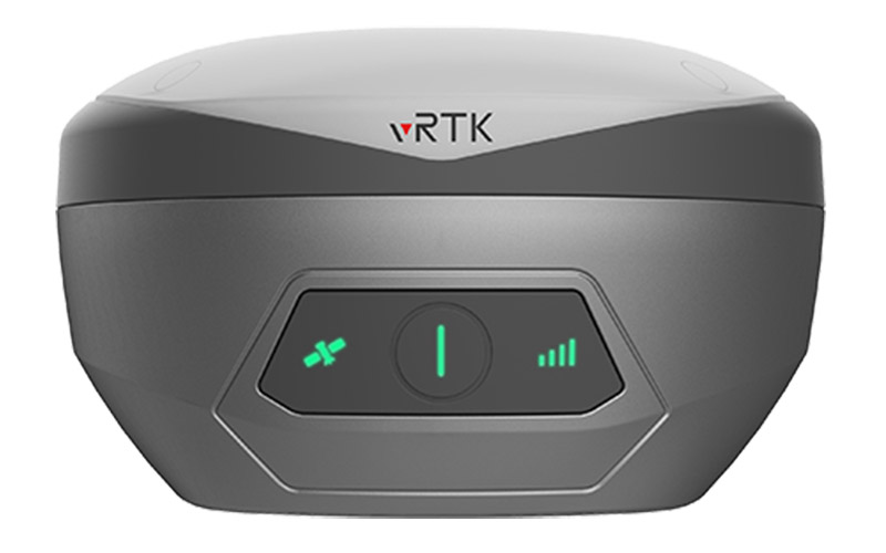
Hi-Target vRTK Visual GNSS RTK Receiver
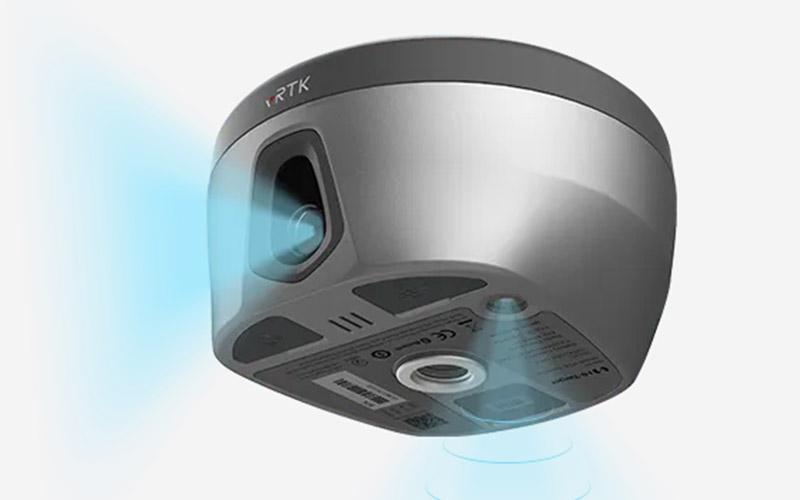
The Hi-Target vRTK is a visual GNSS RTK receiver developed around camera-based image surveying and Live View Stakeout. Its professional dual-camera system allows surveyors to collect points without always occupying the target directly, expanding the range of situations that can be handled from a safe or convenient position.
Live View Stakeout provides visual guidance during construction layout, while the image surveying workflow can also support 3D modeling and point cloud applications. This makes vRTK particularly useful when surveying complex structures, earthwork and locations where direct access is inconvenient.
Key Features:
Dual-camera image surveying
Non-contact point measurement
Live View Stakeout
Visual positioning
2 cm image stakeout accuracy
2–4 cm image survey accuracy
Supports point cloud and 3D modeling workflows
Multi-frequency GNSS RTK positioning
Core Specifications:
GNSS channels: 1408 / 1760
Satellite systems: BDS, GPS, GLONASS, Galileo, QZSS, NavIC and SBAS
Image stakeout accuracy: 2 cm
Image survey accuracy: 2–4 cm
Tilt survey accuracy: 8 mm + 0.7 mm/° tilt
Data storage: 8 GB
Camera system: professional dual cameras
Applications:
Land surveying
Topographic surveying
Construction layout
Road reconstruction
Building surveying
Earthwork measurement
Heritage and building documentation
3D modeling
Non-contact field surveying
Related Products:
Why Choose the Hi-Target vRTK?
The vRTK is designed around a different approach to GNSS surveying by combining satellite positioning with image-based measurement and visual stakeout. Its dual-camera configuration, non-contact image surveying, AR live view and IMU tilt capabilities make it particularly relevant for surveying workflows where visual information can improve point measurement and stakeout operations.
RTKSurvey.com supplies Hi-Target GNSS RTK receivers and surveying equipment for international customers. Contact us for the Hi-Target vRTK, specifications, pricing and availability.



