Welcome to RTKSurvey.com

Hi-Target V700S SLAM GNSS RTK Receiver
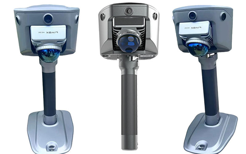
The Hi-Target V700S is a SLAM GNSS RTK receiver designed for surveying across both open and GNSS-denied environments. By combining RTK positioning with SLAM and LiDAR scanning, it can extend field data collection into locations where satellite signals are weak or unavailable.
V700S supports indoor and outdoor 3D mapping, contactless image measurement and dense point cloud capture. The unified RTK and SLAM workflow can be used for applications including building surveys, tunnels, excavation, stockpile measurement and construction site progress monitoring.
Key Features:
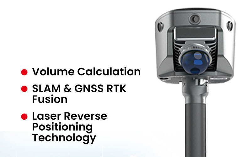
GNSS RTK and SLAM technology fusion
LiDAR scanning for dense 3D point clouds
Designed for GNSS-denied and weak-signal environments
Laser Reverse Positioning technology
Contactless image measurement
Real-time 3D point cloud capture
Supports cut and fill volume calculation
Suitable for indoor and outdoor surveying
Supports tunnel, stockpile and construction site workflows
Core Specifications:
GNSS channels: 1408
Satellite systems: BDS, GPS, GLONASS, Galileo, QZSS, NavIC, SBAS and PPP
Laser scanner range: 1–40 m at 10% reflectivity; 0.1–70 m at 80% reflectivity
Image measurement accuracy: 5 cm
Data storage: 512 GB
Tilt survey accuracy: 8 mm + 0.3 mm/° tilt
Positioning technology: GNSS RTK + SLAM
Point cloud: 3D LiDAR scanning and real-time visualization
Applications:
3D surveying and mapping
Indoor and outdoor mapping
Tunnel surveying
Building and as-built surveying
Construction site progress monitoring
Stockpile measurement
Excavation surveying
Cut and fill volume calculation
GNSS-denied surveying
Industrial facility surveying
BIM and digital-twin data collection
Why Choose the Hi-Target V700S?
The V700S combines GNSS RTK, SLAM, laser scanning and image measurement to provide a flexible surveying workflow for both open and GNSS-denied environments.
For survey companies, contractors, distributors and engineering professionals, it can help extend field surveying into areas where conventional GNSS equipment may have limited usability.
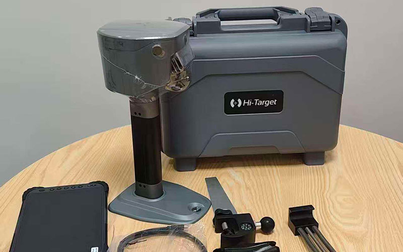
RTKSurvey.com supplies the Hi-Target V700S SLAM RTK System for professional surveying, construction, mapping and engineering applications. Contact RTKSurvey.com for product information, pricing and international business inquiries.
Related Products:



