Welcome to RTKSurvey.com

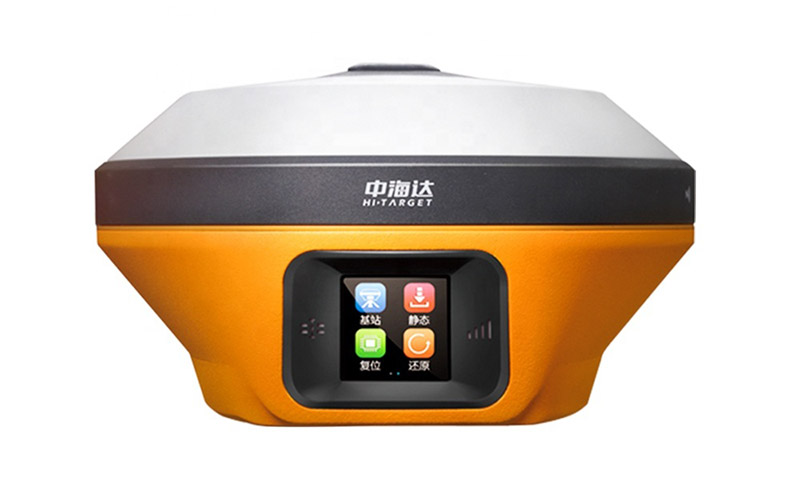
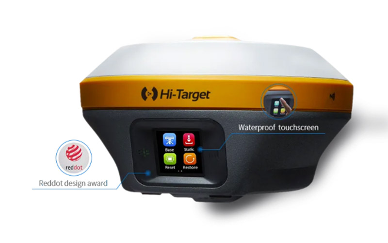
Hi-Target iRTK5 GNSS RTK Receiver
The Hi-Target iRTK5 is a scalable GNSS RTK receiver designed for field surveying where flexible correction methods and efficient point collection are important. Its PPP service can receive real-time correction information from satellites, providing an alternative positioning workflow where conventional ground-based reference services are unavailable.
The receiver also integrates calibration-free IMU tilt surveying and a color touch OLED display, allowing surveyors to check receiver status and carry out field operations directly from the instrument.
RTKSurvey.com supplies Hi-Target surveying equipment for international customers. Contact us for the Hi-Target iRTK5 GNSS RTK Receiver, product specifications, pricing and availability.
Key Features:
GNSS RTK positioning
Satellite-based PPP correction service
Calibration-free IMU tilt surveying
No conventional centering required for tilt measurement
1.3-inch color touch OLED display
Multi-constellation, multi-frequency GNSS
Multi-protocol radio communication
Designed for flexible field positioning workflows
Core Specifications:
GNSS channels: 1408 / 1760
Satellite systems: GPS, GLONASS, Galileo, BDS, QZSS, SBAS and NavIC
RTK precision: 8 mm H / 15 mm V
Tilt surveying: built-in calibration-free IMU
Correction technology: GNSS RTK and PPP
Display: 1.3-inch color touch OLED
Resolution: 240 × 240
Radio: multi-protocol receive and transmit
Applications:
Land surveying
Topographic surveying
Construction surveying
Engineering projects
Road and infrastructure surveying
Remote-area surveying
GIS field data collection
GNSS positioning where conventional correction infrastructure is limited
Why Choose the Hi-Target iRTK5?
The Hi-Target iRTK5 is designed for professional surveyors who need flexible positioning options and efficient field operation. Its combination of GNSS RTK, satellite-based PPP correction and calibration-free IMU tilt surveying allows survey teams to adapt to different correction environments while reducing the need for traditional pole leveling.
The integrated color touch OLED display provides convenient access to receiver information and field settings, while multi-constellation GNSS and multi-protocol communication support reliable positioning across a wide range of surveying applications.
For surveying teams working across different project conditions, the iRTK5 offers a practical balance of positioning flexibility, field efficiency and ease of operation.
Related Products:



