Welcome to RTKSurvey.com

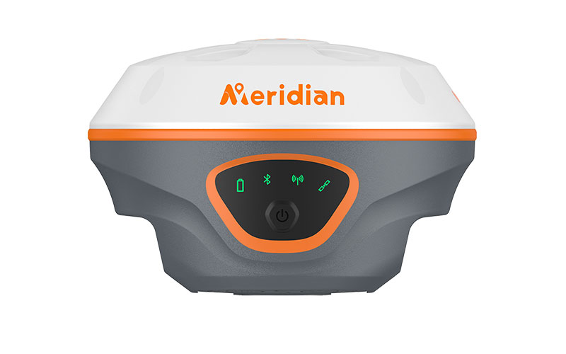
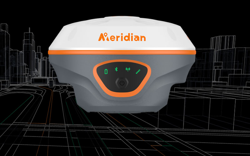
Meridian M20L Laser GNSS RTK Receiver
The Meridian M20L Laser GNSS RTK Receiver combines high-precision GNSS positioning with laser measurement, IMU tilt compensation and camera-assisted field surveying. Its calibration-free inertial system allows the receiver to measure points while the survey pole is tilted, while the integrated green laser can be used to measure points that are difficult or unsafe to occupy directly.
With 1408 GNSS channels, multi-constellation tracking, internal radio and cellular connectivity, the M20L is designed for flexible RTK workflows in surveying, construction and engineering projects. RTKSurvey.com supplies the Meridian M20L as a laser-enabled GNSS RTK solution for professional field applications.
Key Features
• 1408-channel multi-constellation GNSS positioning
• Calibration-free IMU tilt compensation
• Up to 120° tilt measurement range
• 200 Hz IMU update rate
• Green laser measurement up to 100 m
• 12 MP wide-angle camera for visual stakeout
• Integrated UHF radio
• 4G cellular communication
• BDS B2b PPP and Galileo HAS support depending on configuration
• 32 GB internal storage
• IP68 protection
Core Specifications
GNSS Channels: 1408
GNSS Systems: BDS, GPS, GLONASS, Galileo, QZSS, SBAS and NavIC depending on configuration
Data Update Rate: Up to 20 Hz
RTK Accuracy: H ±8 mm + 1 ppm, V ±15 mm + 1 ppm
Static Accuracy: H ±2.5 mm + 0.5 ppm, V ±5 mm + 0.5 ppm
Tilt Compensation Accuracy: ≤2 cm
Tilt Measurement: Up to 120°
IMU Update Rate: 200 Hz
Green Laser Range: Up to 100 m
Laser Accuracy: H ±(8 mm + 3 mm/m), V ±(15 mm + 3 mm/m)
AR Camera: 12 MP wide-angle camera
Internal Radio: 1 W / 2 W
Radio Frequency: 410–470 MHz
Bluetooth: Dual-mode Bluetooth
Wi-Fi: Supported
Cellular: 4G LTE
Storage: 32 GB
Battery: 7.4 V / 7000 mAh rechargeable lithium-ion battery
Operating Time: Up to 20 hours in RTK base/rover mode
Static Operation: Up to 40 hours
Protection: IP68
Operating Temperature: -40°C to +85°C
Weight: Approximately 699 g
Applications
• Topographic surveying
• Construction layout and stakeout
• Engineering surveying
• Road and infrastructure measurement
• Remote point measurement
• Point collection where direct occupation is difficult
• Surveying around obstacles and structures
• Land and site measurement
Related Products
• Meridian SuperBase GNSS RTK Base Receiver
• Meridian SuperRTK SLAM GNSS RTK Receiver
• Meridian M20Lite Visual IMU GNSS RTK Receiver



