Welcome to RTKSurvey.com

GNSS RTK vs Total Station: Which Should You Choose for Surveying?
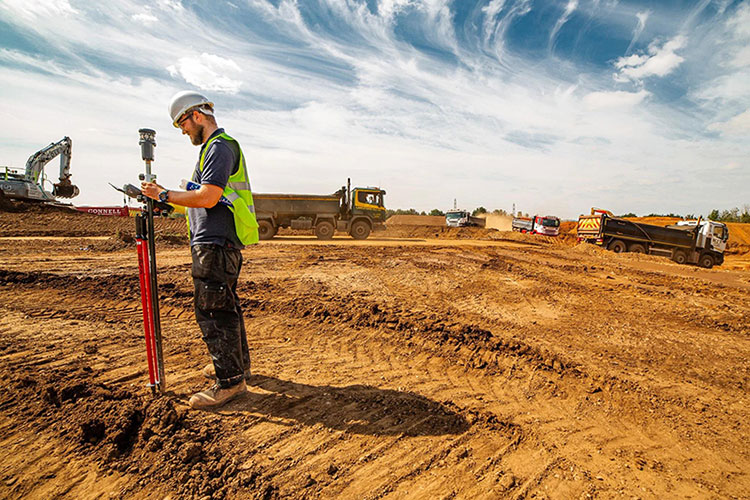
A survey crew may use GNSS RTK to measure hundreds of points across an open construction site, then switch to a total station when work moves beside a building. The equipment changes, but the objective remains the same: obtain reliable coordinates that meet the project's requirements.
GNSS RTK and total stations are both important tools for land surveying, engineering and construction layout. Their differences go beyond accuracy specifications. Each instrument depends on a different measurement process, faces different site limitations and requires its own quality-control checks.
The most useful question is not which instrument is better overall. It is which measurement method can deliver dependable results at the locations where your team actually needs to work.
Start with the Measurement Conditions, Not the Equipment Brand
Before comparing instruments, consider the survey task.
An open road corridor, a partially enclosed construction floor and a narrow urban street may require very different approaches. Even within one project, the best instrument can change from one observation point to another.
A practical equipment decision begins with four questions:
Can the survey point receive reliable GNSS satellite signals?
Can a total station maintain a clear sight line to the target?
What accuracy and verification requirements apply?
How will the measurements connect to the project's coordinate control?
These questions are more useful than choosing equipment solely by its advertised precision or number of features.
Two Instruments, Two Measurement Methods
GNSS RTK Determines Positions Using Satellite Observations
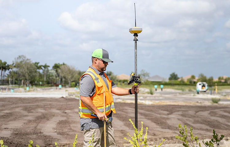
A GNSS RTK receiver tracks signals from navigation satellites and processes them with correction information from a local base station or reference network.
With suitable equipment, corrections and observation conditions, RTK can deliver centimeter-level positioning in real time.
The rover can move between points without requiring a direct optical sight line to a ground-based instrument. This makes RTK particularly efficient across large, accessible outdoor areas.
However, satellite visibility, multipath, correction availability and coordinate configuration remain important limitations.
A Total Station Measures Angles and Distances
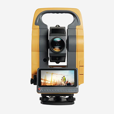
A total station combines electronic distance measurement with horizontal and vertical angle observations.
The instrument determines point positions relative to its station coordinates and orientation. Measurements may be taken to a prism or, where supported, directly to suitable surfaces in reflectorless mode.
Unlike GNSS RTK, a conventional total station does not need satellite reception to measure a target. It does, however, need a usable optical path between the instrument and the measured point.
The quality of the result depends on factors such as station setup, centering, orientation, target configuration and measurement geometry.
Three Surveying Scenarios That Change the Decision
Scenario 1: Topographic Survey Across an Open Site
Consider a survey team collecting terrain points across a large development area.
The site has relatively clear sky visibility, and many points are spread across open ground.
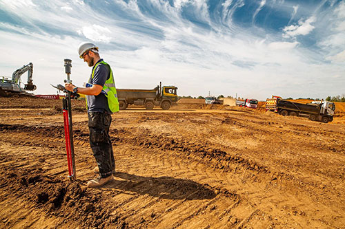
Here, GNSS RTK can reduce the need to repeatedly reposition a total station. A rover operator can move between survey points while receiving corrections from a compatible base station or network service.
Why RTK may be preferable: The workflow supports efficient point collection across a broad area without maintaining optical visibility to a fixed instrument.
What still needs checking: Correction status, control-point agreement, pole height, coordinate settings and any localized signal obstructions.
Scenario 2: Setting Out Points Beside a Building

Now consider the same project after construction begins.
Survey points are located beside concrete columns, steel structures and partially enclosed areas. Satellite reception may be obstructed or affected by reflected signals.
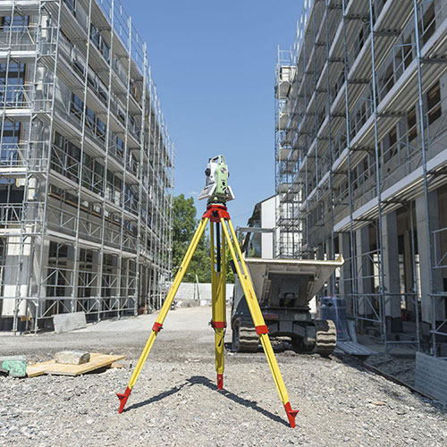
A total station positioned with a clear view of the target can offer a more suitable measurement method.
Why a total station may be preferable: The instrument uses direct angle and distance observations instead of depending on usable satellite signals at the target.
What still needs checking: Station coordinates, backsight orientation, prism constants, instrument centering and target visibility.
Scenario 3: Roadworks with Open and Obstructed Sections
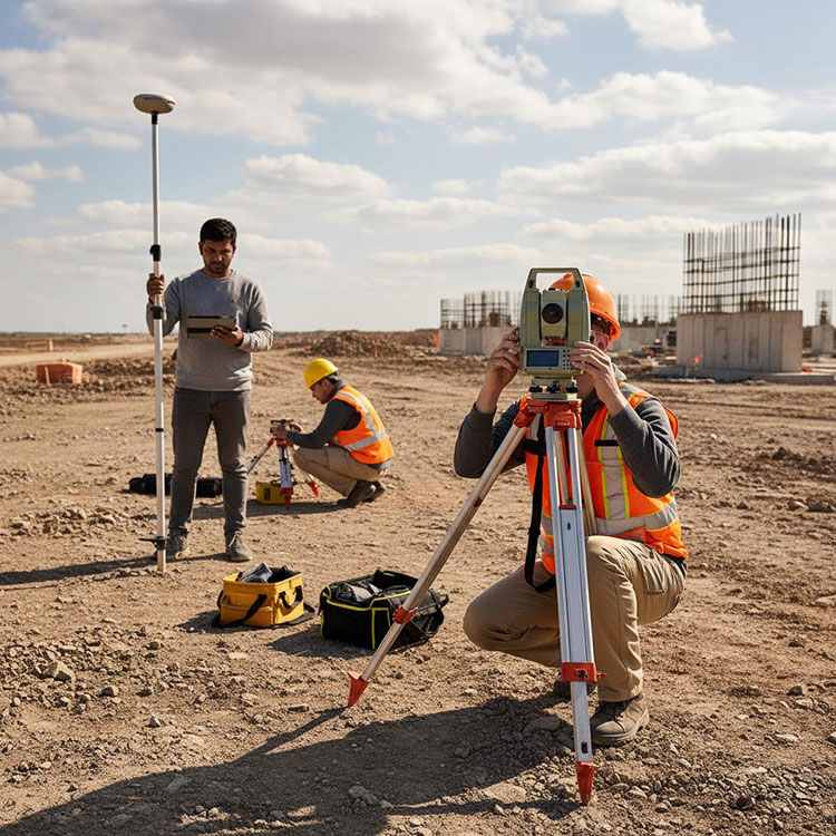
A road project may pass through open terrain, tree-covered sections and built-up intersections.
Using only one instrument could create unnecessary delays or compromise measurement reliability.
A combined workflow may be more practical:
Use GNSS RTK in suitable open areas to establish or check project control.
Verify the coordinates against the project's accepted reference points.
Set up the total station where satellite reception becomes unreliable.
Transfer control into obstructed sections using appropriate survey procedures.
Perform independent checks before accepting critical layout points.
The important advantage is not simply owning two instruments. It is having a consistent measurement system that allows the team to change methods without losing control of coordinate quality.
Accuracy: Why Specification Numbers Do Not Tell the Whole Story
GNSS RTK receivers and total stations are often compared using manufacturer accuracy figures.
These figures can be useful, but they are not directly interchangeable.
Understanding GNSS RTK Accuracy
RTK specifications commonly distinguish horizontal and vertical positioning performance. The reported figures depend on assumptions about corrections, satellite conditions and observation methods.
In actual fieldwork, errors may also arise from:
Incorrect base-station coordinates
Unsuitable coordinate transformations
Antenna or pole-height mistakes
Satellite signal reflections
Poor observation conditions
Incorrectly accepted positioning solutions
A fixed RTK solution is an important indicator, but it does not independently confirm that the coordinate is correct.
Understanding Total Station Accuracy
Total station specifications may include angular accuracy and electronic distance measurement accuracy.
The final coordinate quality also depends on the measurement setup.
A poorly centered instrument, incorrect prism constant, weak orientation or unsuitable control network can introduce errors even when the instrument itself has excellent specifications.
For precision construction layout, the entire measurement procedure must meet the required tolerance.
Which Instrument Is More Accurate?
There is no responsible universal answer without defining the equipment, measurement conditions and accuracy requirement.
A properly configured total station can be especially suitable for precise local measurements and alignment work. GNSS RTK can deliver highly efficient positioning across open sites where centimeter-level results meet the project requirements.
For critical work, evaluate verified field performance and independent checks rather than assuming that one technology always produces better coordinates.
The Coordinate System Problem That Teams Should Not Ignore
One of the most important issues when combining GNSS RTK and total station observations is ensuring that both methods use compatible coordinates.
GNSS positioning is tied to a geodetic reference framework through the correction source and processing configuration. Construction projects may instead use a local engineering grid, site calibration or another specified coordinate system.
A total station can work within the project grid, but its station coordinates and orientation must be correctly established.
If the GNSS and total station workflows use inconsistent coordinate definitions, the two instruments may produce measurements that appear internally consistent but do not agree with one another.
Before Combining GNSS and Total Station Data
Confirm the following:
Project horizontal coordinate reference system
Required vertical datum and height model
Grid and ground distance treatment, where applicable
Approved site calibration or transformation parameters
Control-point coordinates and identification
Field software coordinate settings
Independent check-point results
For projects with strict tolerances, the survey procedure should specify how control will be verified and how discrepancies will be handled.
What About Crew Size and Field Productivity?
GNSS RTK is often associated with one-person surveying, but that does not mean it always requires fewer people.
Crew requirements depend on safety procedures, project complexity and how the work is organized.
A conventional manual total station may involve an instrument operator and a prism holder. A robotic total station can support one-person operation in suitable conditions.
Similarly, GNSS RTK can reduce setup time across open sites, but that advantage may disappear if the team repeatedly loses corrections or struggles with satellite obstruction.
Productivity should be assessed across the entire job, including setup, control verification, measurement, rework and data delivery.
Choosing a Suitable Equipment Configuration
The purchasing decision becomes clearer when you consider the projects your team handles most frequently.
For Teams Working Primarily in Open Terrain
A GNSS RTK rover with compatible corrections, a field controller and suitable surveying poles may be the primary measurement system.
Before ordering, check correction-service availability, radio or NTRIP compatibility, software functions and local support.
For Teams Working Around Buildings and Structures
A total station may be an important part of the equipment package.
Compare angular accuracy, distance measurement capabilities, prism compatibility, onboard software and whether manual or robotic operation is required.
For Contractors Handling Mixed Projects
A combined GNSS RTK and total station setup can provide flexibility.
The purchase should also account for accessories and software compatibility, including controllers, tripods, tribrachs, prisms and survey poles.
Avoid comparing instrument prices without considering the complete working configuration.
Field Checklist: Before Accepting Survey Results
GNSS RTK Checks
Confirm the correct coordinate system and correction source.
Check antenna height and pole configuration.
Verify the positioning status and observation quality.
Measure suitable known control points.
Watch for multipath and satellite obstruction.
Repeat or independently check observations as required.
Total Station Checks
Confirm instrument centering and leveling.
Verify station coordinates and orientation.
Check target height and prism settings.
Use appropriate backsight and control checks.
Monitor optical visibility and measurement geometry.
Confirm critical observations independently.
These checks help ensure that equipment capability translates into reliable survey data.
Find GNSS RTK and Total Station Equipment at RTKSurvey.com
RTKSurvey.com supplies surveying instruments and accessories for land surveying, construction and engineering applications.
If your team is planning to expand its equipment capabilities, start by identifying the types of projects you perform, the conditions at your survey sites and the software or correction systems already in use.
You can explore the available equipment categories:
GNSS Receivers — for RTK positioning and field data collection.
Total Stations — for optical measurement, surveying and construction layout.
Surveying Accessories — for tripods, prisms, poles, controllers and other field equipment.
For an introduction to RTK technology, read our guide: What Is an RTK GNSS Receiver? A Practical Guide for Surveying.
Frequently Asked Questions
Can GNSS RTK Replace a Total Station?
GNSS RTK can replace some total station workflows in suitable outdoor environments, but it cannot perform every optical surveying task. Total stations remain valuable where satellite reception is obstructed or precise local measurements are required.
Is a Total Station Better for Construction Stakeout?
It depends on the location and tolerance. Total stations can be especially useful around buildings and structural elements, while GNSS RTK is efficient for many open-site layout tasks.
Does a Total Station Need GPS?
A conventional total station does not require GPS or GNSS to measure angles and distances. Some integrated systems combine both technologies, but satellite positioning is not necessary for standard optical observations.
Can GNSS RTK and Total Station Data Be Combined?
Yes. The measurements can be used within the same project when coordinate systems, control points, transformations and verification procedures are correctly managed.
Which Equipment Should a New Surveying Team Buy First?
The answer depends on the team's main projects. Open-area mapping may favor GNSS RTK, while structural layout or heavily obstructed sites may favor a total station. Teams serving varied applications may eventually benefit from both.
Final Thoughts
GNSS RTK and total stations should not be treated as interchangeable instruments.
RTK is particularly effective when reliable satellite observations and corrections are available across a survey area. A total station provides a different measurement method that can remain useful where GNSS positioning is limited.
For surveying teams, the best investment is equipment that fits the working environment, meets project tolerances and supports a dependable quality-control process.
Understanding how the two methods complement each other helps contractors and surveying companies build a more flexible and reliable field workflow.