Welcome to RTKSurvey.com

How to Choose a Total Station for Surveying: A Practical Buyer's Guide
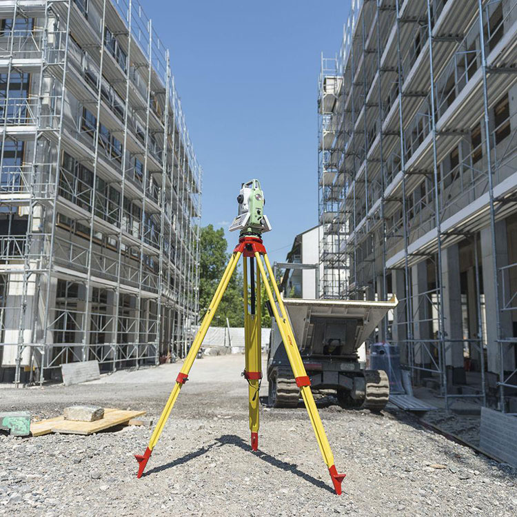
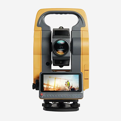
Buying a total station is not simply a matter of choosing the instrument with the highest accuracy rating or the longest advertised measuring range. The right choice depends on what your survey team measures, how your crew works, and which equipment and software you already use.
A total station suitable for general topographic surveying may not be the most practical choice for precision construction layout. Similarly, a robotic model may improve productivity for some teams while adding unnecessary cost and complexity for others.
This guide explains how to choose a total station for surveying by connecting the main specifications to real field requirements. It also covers several purchasing details that are easy to overlook until the equipment arrives on site.
Define Your Surveying Tasks Before Comparing Models
Start with the work your instrument must perform regularly.
Land and Topographic Surveying
For boundary-related field measurements, topographic surveys and general site mapping, a dependable total station should support efficient angle and distance observations, point coding and straightforward data transfer.
The best configuration depends on your required tolerances, typical sight distances and control procedures.
Construction Layout and Stakeout
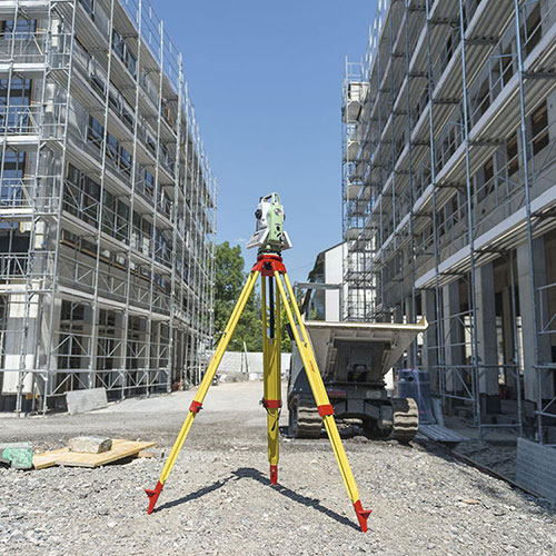
Construction teams often need to set out foundations, columns, structural grids and other design positions.
Useful features may include onboard coordinate stakeout, clear graphical guidance, reliable data import and convenient field operation.
Where the project requires particularly tight tolerances, instrument selection must be considered alongside the control network, observation method and verification process.
Engineering and Industrial Measurements
Some engineering applications require more demanding angular measurements, stable setups or specialized workflows.
For these projects, review the actual measurement specification rather than assuming that an instrument marketed for engineering is automatically suitable.
The project tolerance should determine the required equipment performance, not the other way around.
Understand Total Station Accuracy Specifications
Accuracy is one of the first specifications buyers compare, but it is also one of the easiest to misunderstand.
Angular Accuracy: What Does 2″ or 5″ Mean?
Total stations commonly list angular accuracy in arcseconds, represented by the symbol ″.
A smaller angular accuracy figure generally indicates a more precise angular measurement specification under the manufacturer's stated test conditions.
For example, the angular effect of a 5″ error at a horizontal distance of 100 meters is approximately 2.4 mm. At 200 meters, it is approximately 4.8 mm.
These are illustrative geometric values, not predictions of a particular instrument's total field accuracy.
Actual coordinate quality also depends on distance measurements, centering, target setup, station orientation and other error sources.
A lower arcsecond rating can be valuable for demanding work, but it does not remove the need for proper field procedures.
EDM Accuracy Is Different from Angular Accuracy
Electronic Distance Measurement (EDM) specifications describe the instrument's distance-measuring performance.
A specification might be expressed as a fixed component plus a distance-dependent component, such as millimeters plus parts per million (ppm).
When comparing instruments, check whether the published figure applies to prism measurements, reflectorless measurements or a specific operating mode.
Do not assume that the same accuracy applies at every distance or to every target surface.
Accuracy Should Match the Project Tolerance
A useful buying process works backward from the project requirement:
Identify the tolerance that the completed survey or layout must satisfy.
Determine the measurement uncertainty allowed for the surveying process.
Consider control quality, observation geometry and field conditions.
Select an instrument and procedure capable of meeting those requirements.
Verify performance through suitable checks.
Buying a more expensive instrument cannot compensate for an unsuitable survey method.
Manual vs Robotic Total Stations: Which Fits Your Crew?

The choice between manual and robotic operation can affect daily productivity as much as the instrument's accuracy rating.
Manual Total Stations
A manual total station requires an operator to aim and observe targets.
For many general surveying and construction applications, this remains a practical and cost-effective approach.
Manual models may suit teams that already work with an instrument operator and a prism holder, or projects where observation points are relatively limited.
Before purchasing, check the instrument's interface, onboard programs, data transfer options and field service availability.
Robotic Total Stations
A robotic total station can automatically turn toward and track a compatible target, depending on its capabilities and operating conditions.
When combined with a suitable controller and tracking system, it can support one-person workflows.
This may be particularly useful for repetitive construction stakeout or projects requiring frequent movement between target points.
However, robotic operation introduces additional considerations, including tracking performance, controller compatibility, wireless communication and power management.
A Practical Crew-Based Decision
If your team regularly performs repetitive stakeout with one field operator, robotic capabilities may justify their additional cost.
If your crew normally works with two people and mainly performs conventional observations, a manual total station may offer better value.
The correct comparison is total project productivity, not simply the purchase price of the instrument.
Check Prism and Reflectorless Measurement Capabilities
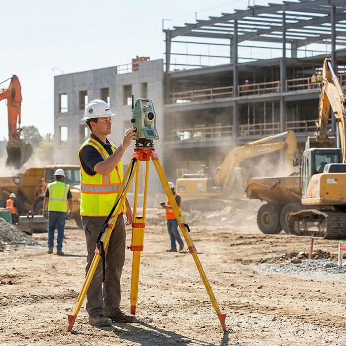
A total station may support prism measurements, reflectorless measurements or both.
These functions serve different field situations.
Prism Measurements
A prism provides a defined optical target for distance measurement.
Prism-based workflows are widely used for control observations, construction layout and general surveying.
Before buying, confirm supported prism types, target configurations and the appropriate prism constants.
An incorrect prism constant can introduce a systematic distance error.
Reflectorless Measurements
Reflectorless EDM allows measurements to suitable surfaces without placing a prism at the target.
It can be useful when a point is difficult or unsafe to access, such as a building facade or elevated structural feature.
However, reflectorless performance depends on the target material, reflectivity, surface angle, atmospheric conditions and measurement distance.
The maximum advertised reflectorless range is not a guarantee of equivalent performance on every surface.
For purchasing purposes, examine the manufacturer's test conditions and consider your actual target materials.
Do Not Choose Measuring Range by the Largest Number
Long measurement range can look impressive in a product listing, but it is not always the most important specification.
A team working primarily on building sites may benefit more from reliable short- and medium-range measurements, efficient stakeout software and easy instrument handling.
A team working across larger open areas may place greater value on prism measuring range and optical performance.
Ask three questions:
What are our typical observation distances?
Do we usually measure with a prism or directly to surfaces?
Under what weather, visibility and target conditions must the instrument work?
These answers help distinguish useful measurement capability from specifications that rarely affect your projects.
Evaluate the Software Before You Buy the Hardware
A total station is part of a field data workflow, not an isolated measuring device.
The onboard software should support the tasks your crew performs frequently.
Depending on the project, important functions may include:
Coordinate measurement and point storage
Stakeout and offset calculations
Resection and station setup
Reference-line or alignment functions
Point coding and data export
Importing design coordinates
Do not assume that every function is included in the standard software package. Some models require optional modules or licenses.
Check Your Existing File Workflow
Before ordering, identify the file formats your office uses and how data will move between the instrument and your processing or design software.
Confirm whether the total station supports the required import and export methods.
If your team already uses a field controller, ask whether it is compatible with the proposed instrument and software version.
An instrument that cannot fit into your existing workflow may create more work than its specifications suggest.
Consider Setup, Durability and Daily Operation
Technical specifications matter, but the everyday experience of using the instrument also affects field productivity.
Optical Visibility and Display
Review telescope magnification, image clarity, display readability and whether the interface is convenient for your working environment.
Dual-face displays may be helpful for certain observation routines, but the benefit depends on the crew's procedures.
Battery and Charging Arrangements
Check expected operating time under relevant conditions, the type of battery supplied and whether spare batteries or chargers are available.
For remote projects, access to replacement power equipment can be as important as nominal battery capacity.
Weather Resistance and Transport
Review the manufacturer's stated environmental protection and operating temperature range.
Also consider instrument weight, carrying case quality, tripod compatibility and transport requirements.
A total station that is frequently moved between stations should be practical to handle without compromising safe setup.
Accessories That Should Be Included in the Buying Decision
A total station quotation may describe the instrument itself without including everything needed for field operation.
Before comparing prices, check whether the package includes or requires:
Surveying tripod
Tribrach and appropriate adapter
Prism, prism holder and target
Prism pole
Batteries and charging equipment
Data transfer cables or compatible wireless accessories
Field controller, if required
Carrying case and software licenses
A lower instrument price may not represent a lower complete-system cost.
Explore Surveying Accessories to understand the supporting equipment used in common field configurations.
A Total Station Buying Example: Two Teams, Different Priorities
Consider two hypothetical surveying companies.
Team A: General Surveying Contractor
This team performs site measurements, occasional construction layout and routine topographic work.
Its crews usually work in pairs, and the instrument is used for conventional observations.
The purchasing priorities might be dependable angular and distance performance, familiar onboard programs, straightforward data transfer and access to compatible accessories.
A suitable manual total station could meet these needs without adding robotic functions the team rarely uses.
Team B: Construction Layout Specialist
This team performs frequent point stakeout on active construction sites.
A field operator moves repeatedly between design points while checking position against the project control.
For this workflow, a robotic total station with compatible tracking, controller and stakeout software may offer operational advantages.
The team should still assess tracking reliability, visibility, site safety and the full equipment package before making a purchase.
Neither example identifies a universally better instrument. Each shows why the working method should guide the decision.
Questions to Ask a Total Station Supplier Before Ordering
A useful quotation should answer more than the price and model number.
Ask your supplier:
What angular accuracy and EDM specifications apply to this exact model?
Are prism and reflectorless measurement modes both supported?
What measuring ranges apply under the manufacturer's stated conditions?
Which onboard surveying and stakeout programs are included?
Is the instrument compatible with our controller and file workflow?
Which batteries, charger, case and accessories are included?
Are additional licenses required for the functions we need?
What warranty, technical support and spare-part arrangements are available?
What documentation is supplied for inspection, adjustment or calibration?
What should our team verify when the instrument arrives?
Request written confirmation of the configuration, especially when comparing similarly named models or different regional packages.
How RTKSurvey.com Can Help
RTKSurvey.com supplies surveying equipment for land surveying, construction and engineering applications.
If you are evaluating a total station, the most useful starting point is a clear description of your application, expected measuring distances, accuracy requirements and preferred operating workflow.
Browse our Total Stations category to explore available equipment from surveying brands.
If your projects also involve satellite positioning, read GNSS RTK vs Total Station: Which Should You Choose for Surveying? to understand where the two technologies complement each other.
Frequently Asked Questions
Is a 2-Second Total Station Always Better Than a 5-Second Model?
Not necessarily. A 2″ angular specification may be valuable for demanding measurements, but the appropriate choice depends on project tolerances, measuring distances, setup quality and other instrument capabilities.
Should I Buy a Manual or Robotic Total Station?
Choose according to your crew size, field workflow and project frequency. Robotic operation may improve efficiency for suitable one-person stakeout tasks, while manual instruments remain practical for many conventional surveying applications.
Is Reflectorless Measurement Necessary?
It depends on whether your team needs to measure surfaces without placing a prism. Reflectorless capability can be useful, but it should not be treated as a replacement for every prism-based measurement.
What Is More Important: Total Station Accuracy or Range?
Both matter, but their importance depends on the application. Choose the required accuracy based on project tolerances and the required range based on realistic observation distances and target conditions.
Can I Use Accessories from Another Brand?
Some tripods, prisms and other accessories may be compatible across brands, but compatibility should never be assumed. Check mounting interfaces, prism constants, controller support and other relevant specifications.
Final Thoughts
Choosing a total station becomes easier when the purchasing process starts with real field requirements.
Define the surveying tasks, understand the accuracy specifications, select a suitable operating method and confirm that the software and accessories fit your workflow.
A well-matched total station is not necessarily the model with the most features. It is the instrument that helps your team produce reliable measurements efficiently, with the support and configuration needed for the projects you actually perform.