Welcome to RTKSurvey.com

How to Choose a Survey Data Collector for GNSS RTK and Total Stations
A survey data collector is more than a handheld device for storing coordinates. It connects field measurements with the software, coordinate systems and workflows used by surveying teams.
For GNSS RTK and total station users, choosing the wrong controller can create compatibility problems, slow down fieldwork and complicate data transfer.
This guide explains what matters when selecting a survey data collector and how to avoid common purchasing mistakes.
Quick Answer: What Should You Look for in a Survey Data Collector?
The most important factor is compatibility with your surveying equipment and field software.
A suitable survey data collector should support the intended receiver or total station, provide reliable communication, run the required surveying applications and withstand daily field conditions.
Screen visibility, battery life, physical buttons and data export options are also important, but they should be evaluated after confirming instrument compatibility.
What Does a Survey Data Collector Do?
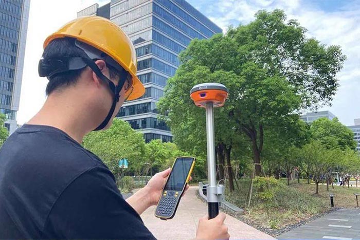
A survey data collector, also called a field controller, is used to operate surveying instruments and manage measurements on site.
Typical functions include:
Configuring GNSS RTK receivers and correction connections
Recording survey points and feature codes
Performing point, line and road stakeout
Operating compatible total stations
Managing coordinate systems and site calibrations
Importing design data and exporting field measurements
Some controllers are designed for specific manufacturers, while others can work with multiple instrument brands through supported field software.
The controller and software should therefore be evaluated as a complete system.
Explore our Survey Data Collectors to compare available GNSS RTK field controllers and handheld surveying devices.
1. Check Instrument and Software Compatibility First
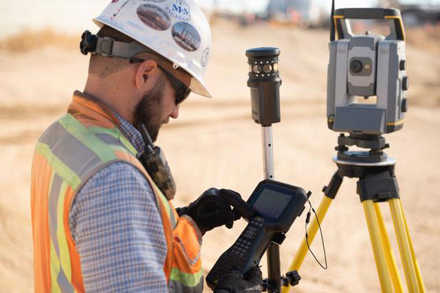
A controller may have excellent hardware specifications but still be unsuitable for a particular receiver or total station.
Before buying, confirm:
The exact instrument models supported by the field software
The software version and licensing requirements
Supported GNSS correction and communication methods
Total station control functions, where applicable
Availability of software updates and technical support
For example, a controller that connects to a GNSS receiver through Bluetooth may still lack the software driver needed to configure its RTK settings.
Similarly, a total station may require specific communication protocols or a dedicated application.
Do not assume that Bluetooth connectivity alone guarantees surveying compatibility.
2. Android or Windows: Which Is Better?
Modern surveying controllers commonly use Android, while some professional field systems continue to use Windows-based platforms.
| Feature | Android Controller | Windows-Based Controller |
|---|---|---|
| User interface | Often touchscreen-oriented | Depends on software and device |
| Field software | Android-compatible applications | Windows-compatible applications |
| Hardware options | Many compact handheld designs | Handheld and tablet designs |
| Instrument compatibility | Depends on supported drivers | Depends on supported drivers |
| Best choice | Based on required software | Based on required software |
Neither operating system is universally better.
The decision should start with the field software your team already uses or plans to adopt.
If a particular application is essential to your workflow, verify its supported operating system and controller models before comparing hardware.
3. Evaluate Communication Options
Reliable communication is essential when a data collector is used with GNSS RTK equipment.
Common connections include Bluetooth, Wi-Fi, USB and cellular networking.
For network RTK, the controller may use mobile internet to connect to an NTRIP caster and deliver corrections to the receiver, depending on the system configuration.
For radio-based RTK, the receiver may handle the correction radio link directly while the controller manages the survey job.
Total stations may use Bluetooth, cable connections or manufacturer-specific wireless communication.
Check which connections are actually required for your equipment rather than selecting a controller simply because it offers more wireless features.
4. Consider Screen and Keyboard Design
Surveyors often work in bright sunlight, rain, dusty construction sites and cold weather.
A controller should remain practical in these conditions.
Important features include:
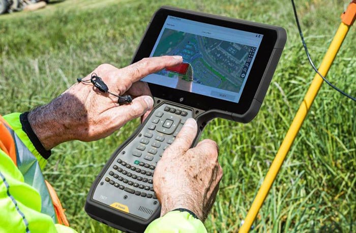
Outdoor-readable display
Touchscreen usability with gloves
Physical shortcut or numeric keys, if needed
Comfortable one-handed operation
Secure mounting to a survey pole
Clear interface for stakeout guidance
Physical buttons can be particularly useful when entering point numbers or operating the controller in wet conditions.
However, touchscreen-focused controllers may be convenient for map-based and graphical survey workflows.
The best choice depends on how the crew works in the field.
5. Battery Life and Durability Matter
A controller that cannot operate through the working day can interrupt an otherwise efficient survey.
Review the manufacturer's stated operating time, but remember that actual battery performance depends on screen brightness, cellular connectivity, temperature and application use.
Also check the environmental protection rating, operating temperature range and available charging options.
For teams working in remote areas, replaceable batteries or practical field-charging solutions may be valuable.
A high IP rating does not mean a device is indestructible, so drop protection and appropriate handling still matter.
6. Check Data Import and Export
A data collector must fit the office workflow as well as the field workflow.
Common requirements include importing design points and exporting measured coordinates, linework or coded observations.
Depending on the software, supported formats may include CSV, DXF and other surveying or CAD formats.
Before purchasing, test a complete workflow:
Import a sample project from the office.
Confirm coordinate system and unit settings.
Connect to the intended instrument.
Measure or stake out a test point.
Export the results.
Verify that the office software reads the output correctly.
This practical test can reveal compatibility problems that are not obvious from a product specification sheet.
Example: Choosing a Controller for a Mixed Surveying Team
Consider a surveying company that operates GNSS RTK receivers for open-area mapping and total stations for construction layout.
The company wants one controller model for both types of equipment.
Before ordering multiple units, the team should confirm whether the proposed field software supports every required instrument model and function.
It should also test coordinate handling and data transfer between GNSS and total station jobs.
If the controller supports only one instrument family, purchasing separate compatible controllers may be more practical than forcing an unsupported workflow.
This example illustrates why a successful equipment purchase depends on the complete system, not just the handheld device.
Survey Data Collector Buying Checklist
| Question | Why It Matters |
|---|---|
| Does it support your exact instrument model? | Avoids connection and driver problems |
| Is the required field software available? | Determines usable survey functions |
| Does it support your correction workflow? | Important for GNSS RTK operation |
| Is the screen usable outdoors? | Improves daily field efficiency |
| Is battery life sufficient? | Reduces interruptions |
| Can it import and export your project files? | Supports office-to-field workflows |
| Are software updates and support available? | Helps maintain long-term usability |
Final Thoughts
The best survey data collector is not necessarily the one with the largest screen, fastest processor or most communication ports.
It is the controller that works reliably with your surveying instruments, supports your field software and fits your daily measurement workflow.
Before purchasing, confirm compatibility using the exact receiver or total station model and test the required functions whenever possible.
RTKSurvey.com supplies surveying equipment and accessories for international customers, including GNSS RTK receivers and total stations. Contact our team with your instrument models and software requirements when discussing suitable data collector options.