Welcome to RTKSurvey.com

What Is a 3D Laser Scanner? Types, Uses and Buying Tips
A 3D laser scanner captures the shape of a building, structure or landscape by measuring large numbers of points in three-dimensional space. These measurements form a point cloud that can be used for mapping, modeling and inspection.
For surveying companies, the main advantage is the ability to record complex environments more completely than measuring individual points one at a time.
However, not all 3D laser scanners are designed for the same work. A handheld scanner used inside a warehouse may not be the best choice for a high-accuracy industrial survey.
How Does a 3D Laser Scanner Work?
A laser scanner sends laser light toward surrounding surfaces and calculates distances from the returned signals. Combined with the direction of each measurement, these distances produce 3D coordinates.
Depending on the instrument, the scanner may use time-of-flight or phase-based measurement technology.
The collected points are processed into a point cloud. Software can then use that data to create floor plans, sections, surface models or other deliverables.
The scanner records visible surfaces, so objects hidden behind walls, equipment or vegetation may require additional scan positions or other measurement methods.
Main Types of 3D Laser Scanners
Terrestrial Laser Scanners
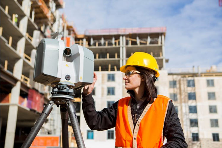
Terrestrial laser scanners are usually set up on tripods at fixed positions.
They are commonly used for building documentation, industrial facilities, structural surveys and projects requiring detailed geometric measurements.
Multiple scans are often registered together to create a complete model of the site.
Handheld SLAM Laser Scanners
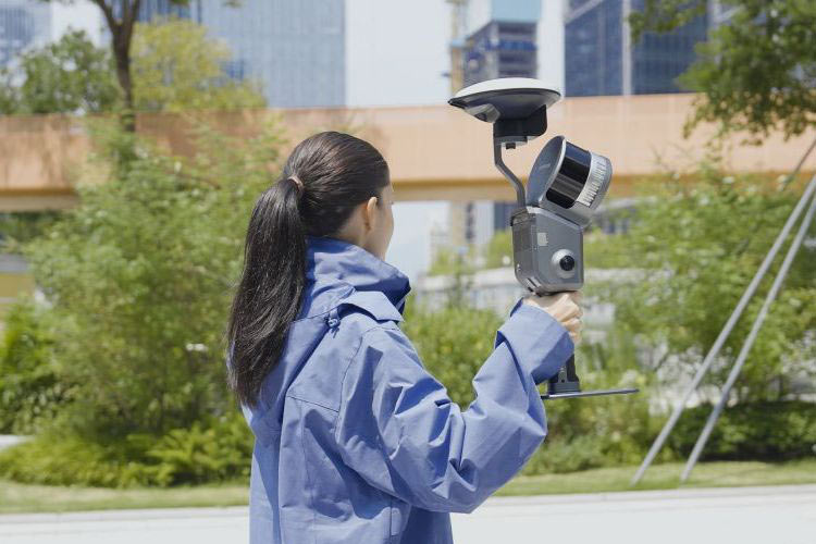
Handheld SLAM scanners allow the operator to move through an environment while collecting spatial data.
SLAM stands for Simultaneous Localization and Mapping. The system estimates its movement and builds a map using sensor observations.
This approach is particularly useful for corridors, warehouses, building interiors and other environments where rapid data collection is important.
However, SLAM accuracy depends on the scanner, trajectory, environment and processing workflow. Long corridors, repetitive features and poor loop closure can introduce drift.
Some systems use GNSS, cameras or control points to improve positioning, but these capabilities vary by model.
Terrestrial vs Handheld SLAM Scanners
| Factor | Terrestrial Scanner | Handheld SLAM Scanner |
|---|---|---|
| Data collection | Stationary scan positions | Continuous movement |
| Field workflow | Setup and register multiple scans | Walk through the survey area |
| Main advantage | Detailed, controlled measurements | Rapid coverage and mobility |
| Common applications | Industrial plants, building surveys | Interiors, tunnels, warehouses |
| Main consideration | Setup time and registration | Drift and trajectory quality |
Neither type is automatically better. The correct choice depends on the required deliverables and the accuracy the project must achieve.
Where Are 3D Laser Scanners Used?
Building renovation: Capture existing walls, columns, floors and mechanical installations before redesign work begins.
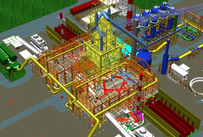
Industrial facilities: Document pipework, equipment and structural details for retrofit planning.
Tunnel and underground surveys: Collect spatial information in environments where conventional GNSS positioning may be unavailable.
Construction progress checks: Compare captured site geometry with design models to identify differences.
For example, a contractor renovating a working factory may need to document complex piping without measuring every pipe individually. A suitable laser scanner can capture the visible geometry efficiently, while survey control and registration checks help maintain the required accuracy.
What Should Buyers Check Before Choosing a Scanner?
Start with the project requirements rather than the advertised scanning speed.
Accuracy and repeatability: Check the manufacturer's specifications and how accuracy is verified in the intended working environment.
Range and coverage: Consider the size of the survey area, surface reflectivity and whether the scanner can capture the necessary details.
Registration and control: Determine how multiple scans will be aligned and connected to the project coordinate system.
Software and deliverables: Confirm whether the workflow supports the required point cloud formats, CAD software and BIM applications.
Field conditions: Consider battery life, instrument weight, lighting, dust, moisture and whether GNSS is available.
A scanner that collects millions of points quickly is not necessarily the best option if its data cannot meet the project's accuracy or processing requirements.
Final Thoughts
3D laser scanners help surveying teams capture complex environments and produce detailed spatial records. Terrestrial scanners are well suited to controlled, stationary measurements, while handheld SLAM systems offer mobility and faster coverage in many indoor and complex environments.
Before buying, define the required accuracy, site conditions and final deliverables. These factors matter more than choosing a scanner based on a single specification.
Explore the available models in our 3D Laser Scanners category.
RTKSurvey.com supplies multi-brand 3D laser scanning equipment for surveying, construction and engineering applications. Contact us to discuss suitable options for your project.