Welcome to RTKSurvey.com

Alpha 4AR Visual GNSS RTK Receiver
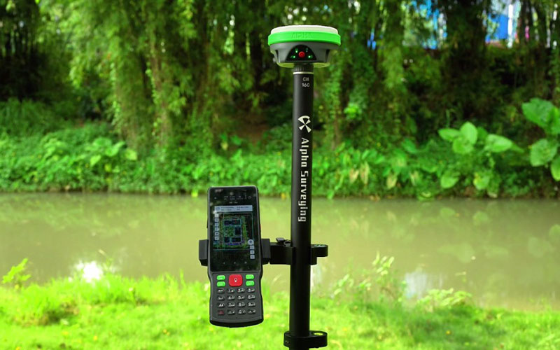
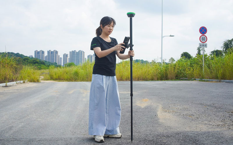
The Alpha 4AR Visual GNSS RTK Receiver is a compact RTK receiver designed for both ground surveying and drone positioning. It adds AR real-world stakeout to Alpha's lightweight RTK platform, helping surveyors visually locate target points without relying on traditional pole-shifting methods.
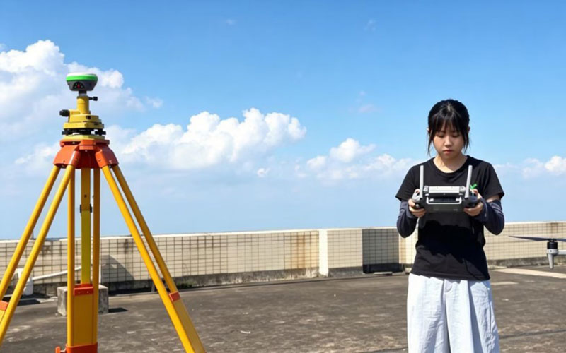
The Alpha 4AR also works as an RTK base station for drone operations. It can provide correction data through NTRIP and standard RTCM output, while its built-in Wi-Fi allows local correction workflows without requiring a cellular network.
With a 400 g body, multi-constellation positioning and built-in WebUI, the Alpha 4AR is designed for teams that need a portable receiver for both ground surveying and UAV operations.
RTKSurvey.com supplies the Alpha 4AR for surveying, construction, mapping and drone positioning applications.
Key Features
AR real-world stakeout
High-precision GNSS RTK positioning
7-constellation, 24-frequency positioning
Up to 1 cm positioning accuracy under suitable conditions
60 dB narrowband interference resistance
RTK base station mode for drone operations
NTRIP correction support
Standard RTCM correction output
Built-in Wi-Fi for local correction workflows
WebUI for base station configuration and monitoring
Lightweight 400 g design
Supports multiple drones sharing one RTK base station
Core Specifications
Positioning: GNSS RTK
Satellite positioning: 7 constellations / 24 frequencies
Positioning accuracy: Up to 1 cm
AR function: Real-world AR stakeout
Correction service: NTRIP
Correction format: RTCM
Drone function: RTK base station
Local communication: Built-in Wi-Fi
Management: WebUI
Weight: Approx. 400 g
Applications
Land surveying
Construction stakeout
Topographic mapping
Drone surveying
UAV mapping
Precision agriculture
Power infrastructure inspection
Water infrastructure inspection
Renewable energy site inspection
Ground RTK positioning



