Welcome to RTKSurvey.com

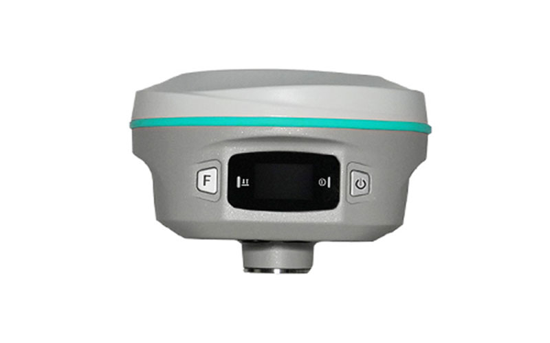
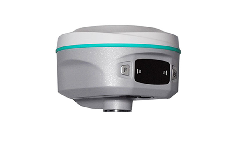
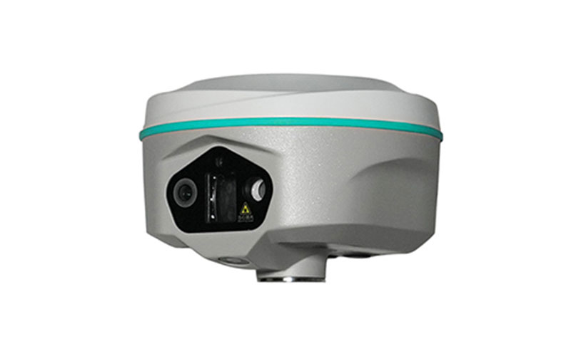
RUIDE RAMA3 Laser GNSS RTK Receiver
The RUIDE RAMA3 is a laser GNSS RTK receiver designed to extend field surveying beyond conventional direct point measurement. Its 200 m precision laser, high-speed IMU and triple-camera visual system allow surveyors to work with targets that are difficult, inconvenient or unsafe to occupy directly.
Rather than relying only on traditional pole-based measurement, RAMA3 combines GNSS positioning with remote laser and visual surveying in one field receiver. This makes it suitable for construction, infrastructure, topographic and engineering projects where non-contact measurement can improve field efficiency.
RTKSurvey.com supplies the RUIDE RAMA3 for professional surveying and construction applications requiring remote point measurement and flexible field workflows.
Key Features:
200 m precision laser ranging
400 Hz high-speed IMU
Triple-camera visual surveying system
GNSS RTK positioning
Non-contact measurement of difficult-to-access points
Laser-assisted field measurement and stakeout
Visual surveying for extended field workflows
Supports RUIDE RTK GO surveying software
Core Specifications:
Laser range: up to 200 m
IMU update rate: 400 Hz
Camera system: triple-camera visual survey
Positioning technology: GNSS RTK
Measurement methods: GNSS, laser and visual surveying
Field software: RUIDE RTK GO
Applications:
Land surveying
Topographic surveying
Construction surveying
Construction layout
Road and infrastructure surveying
Engineering surveying
Remote point measurement
Non-contact surveying
Difficult-to-access target measurement
Related Products:



