Welcome to RTKSurvey.com

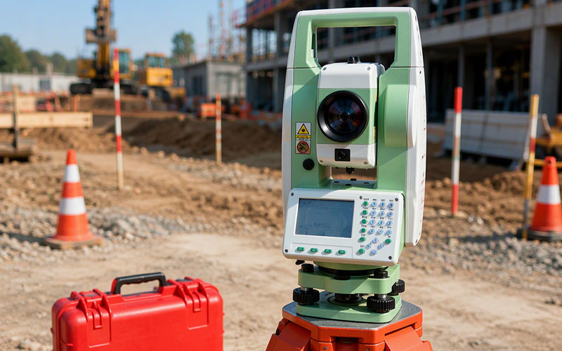
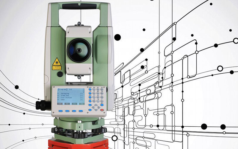
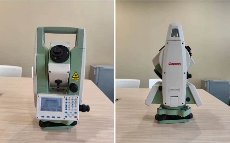
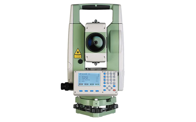
SANDING ARC5 Pro Total Station
The SANDING ARC5 Pro is a professional conventional total station designed for land surveying, construction layout and general engineering work. It combines 2″ angular accuracy with reflectorless measurement up to 1000 m and prism measurement up to 5000 m, covering a wide range of everyday field surveying requirements.
The ARC5 Pro uses an absolute encoding angle measurement system and a dual-axis compensator for stable angular measurements. Its dual displays, alphanumeric keyboards, trigger key and USB data transfer interface provide a practical operating workflow for surveyors working in the field.
Key Features
2″ angle accuracy
Up to 1000 m reflectorless measurement
Up to 5000 m measurement with a single prism
30× telescope
Absolute encoding angle measurement
Dual-axis compensation
Dual LCD displays
Alphanumeric keyboards on both sides
Trigger key for quick measurement
USB data transfer
Laser plummet option
Internal memory and external storage support
Why Choose the SANDING ARC5 Pro?
The SANDING ARC5 Pro is designed for surveyors who prefer a straightforward and reliable conventional total station with long-range EDM capability. Its 2″ angular accuracy and 1000 m reflectorless range provide useful performance for topographic surveying, construction and engineering projects.
The dual-axis compensator automatically corrects angular readings for instrument tilt, while the absolute encoding system avoids the need for traditional zero initialization. The dual-sided display and keyboard layout also make the instrument convenient to operate from different working positions.
For survey teams that need practical measurement functions, long EDM range and flexible data transfer without the complexity of a robotic total station, the ARC5 Pro offers a balanced solution.
Core Specifications
Angle Accuracy: 2″
Telescope Magnification: 30×
Reflectorless Range: Up to 1000 m
Single Prism Range: Up to 5000 m
Prism Distance Accuracy: ±(2 mm + 2 ppm × D)
Reflectorless Accuracy: 3 mm + 2 ppm × D within the specified range
Angle Measurement: Absolute encoding
Compensation: Dual-axis, ±3′
Display: Dual LCD displays
Data Interface: USB, SD card / Mini USB / RS232C depending on configuration
Internal Memory: 4 MB
Protection: IP55
Operating Temperature: -20°C to +50°C
Applications
Land surveying
Topographic surveying
Construction surveying
Building layout
Road and infrastructure projects
Engineering surveying
COGO and coordinate measurement
Stakeout
Area and volume calculation
General field measurement



