Welcome to RTKSurvey.com

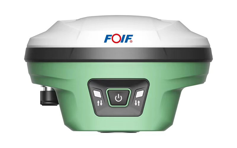
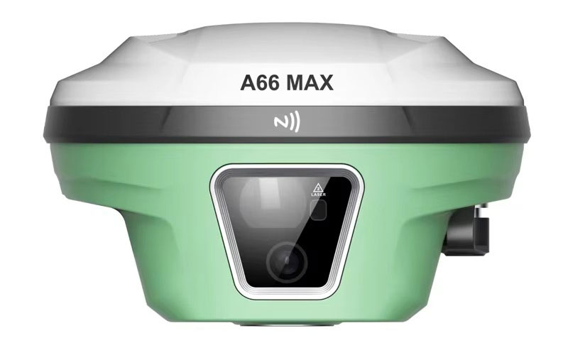
FOIF A66 MAX Laser GNSS RTK Receiver
The FOIF A66 MAX is a multi-function GNSS RTK receiver that combines high-precision satellite positioning with laser measurement, IMU tilt surveying and dual-camera visual functions. Its laser module supports remote measurement of points that may be difficult to occupy directly, while the integrated cameras provide visual stakeout capabilities. RTKSurvey.com supplies the FOIF A66 MAX for engineering, construction and field surveying applications.
Key Features
• 1408-channel multi-constellation GNSS tracking
• Dynamic tilt surveying up to 60°
• Integrated laser ranging module
• Laser measurement range from 0.1 to 50 m
• Dual cameras for visual stakeout
• Integrated 1 W UHF radio
• Wi-Fi WebUI for receiver configuration
• 4G, Bluetooth and Wi-Fi connectivity
• IP68 protection
• Up to 20 hours static operation
Core Specifications
GNSS Channels: 1408
RTK Accuracy: H ±8 mm + 1 ppm, V ±15 mm + 1 ppm
Static Accuracy: H ±2.5 mm + 0.5 ppm, V ±5 mm + 0.5 ppm
Tilt Surveying: Up to 60°
Tilt Accuracy: ≤2 cm within 60° tilt
Laser Range: 0.1–50 m
Laser Resolution: 1 mm
Laser Accuracy: Approx. 2 cm within 5 m; approx. 3 cm within 10 m
Internal UHF Radio: 1 W
Radio Frequency: 410–470 MHz
Battery: 13,600 mAh
Static Working Time: Up to 20 hours
Rover Working Time: Up to 16 hours
Internal Memory: 8 GB
Protection: IP68
Operating Temperature: -30°C to +65°C
Applications
• Engineering surveying
• Construction layout
• Remote point measurement
• Topographic surveying
• AR and visual stakeout
• Road and infrastructure projects
• General RTK field surveying
Related Products
• FOIF A90 GNSS RTK Receiver
• FOIF A66AR AR GNSS RTK Receiver
• FOIF A98L Laser GNSS RTK Receiver
• FOIF A70AR AR GNSS RTK Receiver



