Welcome to RTKSurvey.com

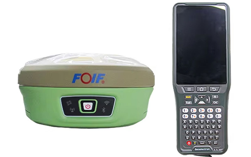

FOIF A90 GNSS RTK Receiver
The FOIF A90 is a professional GNSS RTK receiver designed for land surveying, construction and other high-precision positioning applications. It tracks multiple GNSS constellations and combines calibration-free IMU tilt surveying with integrated radio and wireless connectivity. WebUI control allows users to configure the receiver and manage field data through a wireless connection. RTKSurvey.com supplies the FOIF A90 for professional surveying and positioning projects.
Key Features
• 1408-channel GNSS engine supporting multiple constellations and frequencies
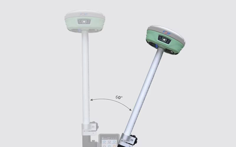
• Calibration-free IMU tilt surveying with up to 60° tilt
• 6-axis IMU with 400 Hz dynamic output
• Built-in 1 W UHF transceiver
• Typical internal radio range above 5 km
• Wi-Fi WebUI for receiver configuration and data management
• Dual removable batteries for extended field operation
• IP68 protection for outdoor surveying
Core Specifications
GNSS Channels: 1408
RTK Accuracy: H ±8 mm + 1 ppm, V ±15 mm + 1 ppm
Static Accuracy: H ±2.5 mm + 0.5 ppm, V ±5 mm + 0.5 ppm
Tilt Surveying: Up to 60°
IMU Output: 400 Hz
Internal UHF Radio: 1 W TX/RX
Typical Radio Range: Above 5 km
Internal Memory: 8 GB
Battery: 7.4 V, 3400 mAh × 2
Protection: IP68
Operating Temperature: -30°C to +60°C
Weight: Approx. 1 kg
Applications
• Land surveying
• Construction surveying
• Topographic mapping
• Engineering measurement
• RTK stakeout
• Transportation and infrastructure projects
• Forestry and agricultural surveying
• Deformation monitoring
Related Products
• FOIF A66 MAX Laser GNSS RTK Receiver
• FOIF A66AR AR GNSS RTK Receiver
• FOIF A98L Laser GNSS RTK Receiver
• FOIF A70AR AR GNSS RTK Receiver



