Welcome to RTKSurvey.com

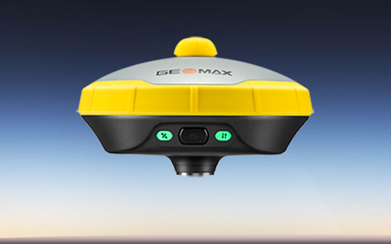
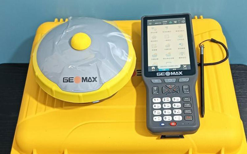
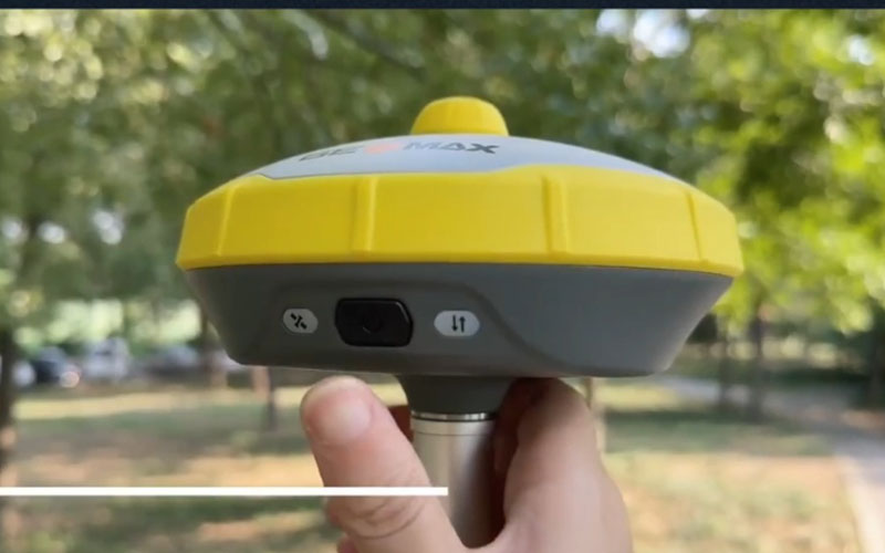
GeoMax ZG25 AR Visual GNSS RTK Receiver
The GeoMax ZG25 AR Visual GNSS RTK Receiver combines high-precision GNSS positioning with visual-assisted surveying and IMU tilt measurement. Its AR camera can provide image-based guidance for stakeout work, while the calibration-free inertial system allows measurements with a tilted survey pole.
With 1408 GNSS channels, multi-constellation tracking and integrated communication interfaces, the ZG25 is designed for field surveying, construction layout and engineering measurement. RTKSurvey supplies the GeoMax ZG25 for professional surveying equipment requirements.
Key Features
• 1408-channel GNSS positioning
• Multi-constellation and multi-frequency satellite tracking
• Calibration-free IMU with up to 60° tilt measurement
• 2 MP AR camera
• 88° camera field of view
• Visual guidance for stakeout
• Integrated CORS positioning support
• 410–470 MHz receive-only radio
• Bluetooth 5.0 and Wi-Fi connectivity
• IP68 protection
• Linux operating system
Core Specifications
GNSS Channels: 1408
RTK Accuracy: H ±8 mm + 1 ppm, V ±15 mm + 1 ppm
Static Accuracy: H ±2.5 mm + 0.5 ppm, V ±5 mm + 0.5 ppm
IMU Update Rate: 200 Hz
Tilt Measurement Range: 0–60°
AR Camera: 2 MP
Camera Field of View: 88°
Camera Frame Rate: 25 Hz
Radio Frequency: 410–470 MHz
Radio Type: Receive-only
Bluetooth: 5.0 with BLE
Wi-Fi: 802.11 b/g/n/ac
Internal Storage: 8 GB
Operating System: Linux
Protection: IP68
Operating Temperature: -30°C to +60°C
Applications
• Topographic surveying
• Construction stakeout
• Engineering surveying
• Cadastral and boundary surveying
• AR-assisted point layout
• Field mapping and data collection
• Surveying in areas where tilted-pole measurement improves efficiency
Related Products
• GeoMax Zenith60 GNSS RTK Receiver
• GeoMax Zenith55 GNSS RTK Receiver
• GeoMax ZG30AI AI Video GNSS RTK Receiver



