Welcome to RTKSurvey.com

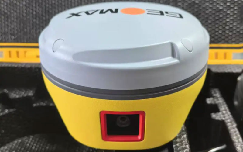
GeoMax ZG30AI AI Video GNSS RTK Receiver
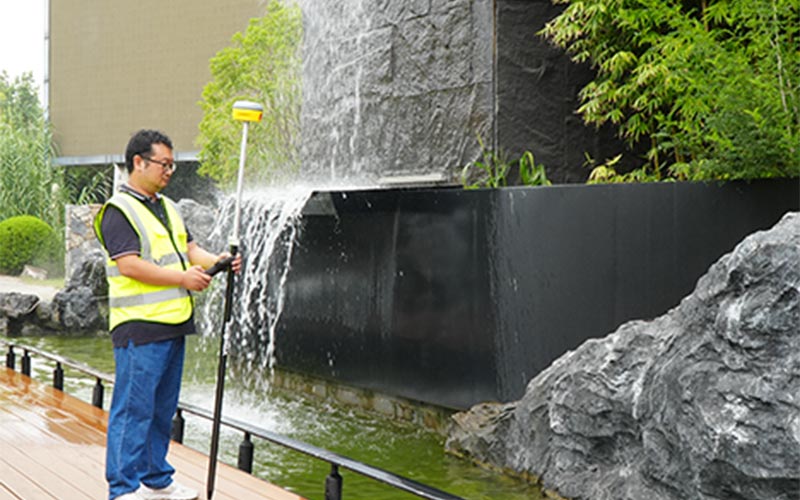
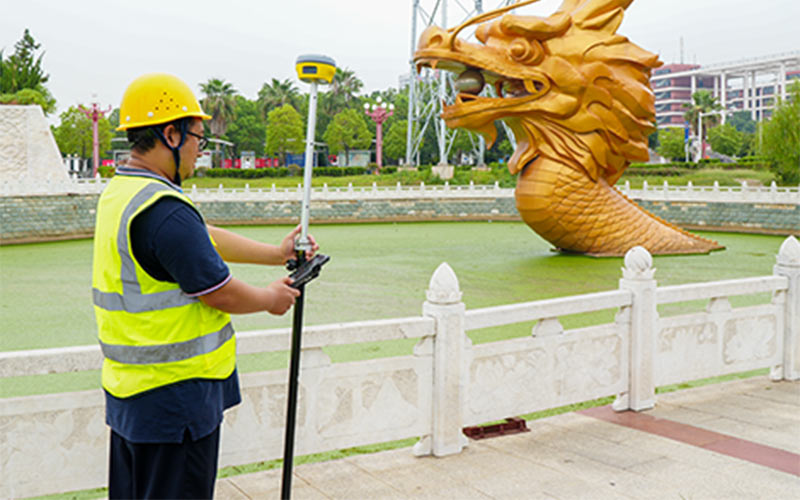
The GeoMax ZG30AI AI Video GNSS RTK Receiver combines GNSS positioning with video-based measurement and AI-assisted visual functions. It is designed to help surveyors collect points and perform measurement tasks using camera-based field information, reducing the need to occupy every target point directly.
The ZG30AI is suited to surveying, construction layout and engineering applications where visual measurement can complement conventional GNSS RTK workflows. RTKSurvey supplies the GeoMax ZG30AI for professional surveying and construction projects.
Key Features
• 1408-channel GNSS positioning
• AI-assisted visual recognition
• Video measurement for field surveying
• Camera-based visual surveying workflow
• IMU-assisted GNSS measurement
• 4G cellular communication
• Wi-Fi and Bluetooth connectivity
• Designed for construction and engineering surveying
• Supports visual point measurement and field data collection
Core Specifications
GNSS Channels: 1408
GNSS Positioning: Multi-constellation GNSS RTK
Video Measurement: Supported
AI Visual Recognition: Supported
IMU: Integrated inertial measurement system
Mobile Communication: 4G
Wireless Connectivity: Wi-Fi and Bluetooth
Applications: Surveying, construction layout, engineering measurement and visual field data collection
Applications
• Topographic and engineering surveying
• Construction layout and stakeout
• Video-assisted point measurement
• Road and infrastructure surveying
• Building and site measurement
• Field data collection
• Surveying tasks where visual measurement can complement GNSS positioning
Related Products
• GeoMax ZG25 AR Visual GNSS RTK Receiver
• GeoMax Zenith60 GNSS RTK Receiver
• GeoMax Zenith55 GNSS RTK Receiver



