Welcome to RTKSurvey.com



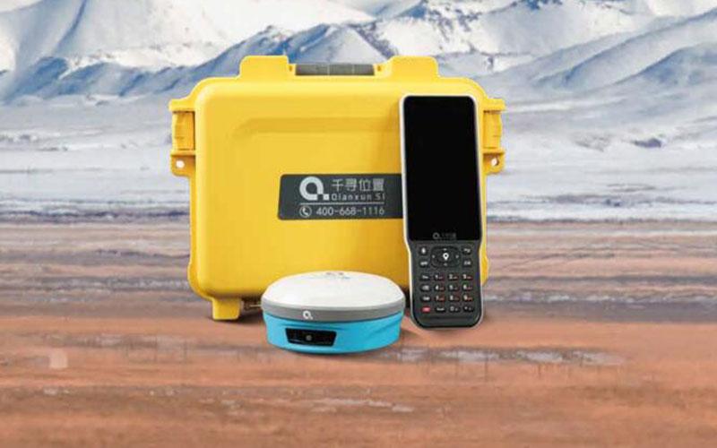
SpatiX K20 Satellite GNSS RTK Receiver
The SpatiX K20 Satellite GNSS RTK Receiver is a compact professional receiver designed for high-precision surveying in both connected and network-limited environments. It combines multi-constellation GNSS positioning, IMU tilt measurement and satellite communication in one field-ready solution.
With 1520 GNSS channels and up to 60° IMU tilt measurement, the K20 supports efficient point measurement without requiring the survey pole to remain perfectly vertical. Its satellite communication capability provides an additional positioning and communication option when conventional network connectivity is limited.
RTKSurvey supplies the SpatiX K20 for land surveying, construction, engineering and field mapping.
Key Features
1520-channel multi-constellation GNSS
RTK centimeter-level positioning
0–60° IMU tilt measurement
Satellite communication capability
Support for network-limited field operations
Compact professional surveying design
IP68 protection
Up to 13 hours of operation
Core Specifications
GNSS channels: 1520
Satellite systems: GPS, GLONASS, Galileo, BeiDou, QZSS and SBAS
RTK accuracy: H ±(8 mm + 1 ppm), V ±(15 mm + 1 ppm)
Static accuracy: H ±(2.5 mm + 0.5 ppm), V ±(5 mm + 0.5 ppm)
Tilt range: 0–60°
IMU update rate: 200 Hz
Battery: 6800 mAh
Operating time: Up to 13 hours
Protection: IP68
Weight: Approx. 830 g
Applications
Land surveying
Topographic mapping
Construction surveying
Engineering measurement
Utility and infrastructure surveys
Remote field surveying
Areas with limited cellular network coverage



