Welcome to RTKSurvey.com


SpatiX Q800 DualVision ARSync GNSS RTK Receiver
The SpatiX Q800 DualVision ARSync GNSS RTK Receiver is a professional GNSS surveying receiver designed for reliable positioning in demanding field environments. It combines high-precision GNSS positioning, dual-camera AR stakeout, an advanced IMU system and global NRTK/SSR correction services.
The dual-camera AR workflow provides visual guidance for stakeout, while the integrated sensor fusion and correction services are designed to maintain stable positioning in environments affected by obstructions, multipath or other challenging GNSS conditions.
RTKSurvey supplies the SpatiX Q800 for surveying, construction, mapping and infrastructure applications.
Key Features
High-precision GNSS RTK positioning
Dual-camera AR stakeout
Advanced IMU for attitude compensation
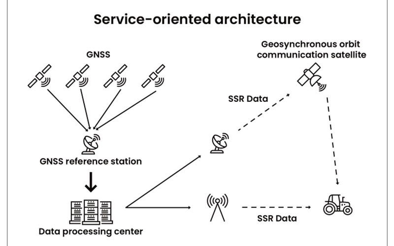
Global NRTK and SSR correction services
Multi-sensor fusion for challenging GNSS environments
Visual guidance for construction layout
Suitable for dynamic mapping and professional field positioning
Core Specifications
Positioning: GNSS RTK
Technology: DualVision ARSync
Visual function: Dual-camera AR stakeout
Sensor: Integrated IMU
Correction services: NRTK / SSR
Accuracy: Centimeter-level positioning
Applications
Land surveying
Construction layout
Topographic mapping
Infrastructure inspection
Urban surveying
Dynamic mapping
Professional GIS field work



