Welcome to RTKSurvey.com

STEC SLi SLAM GNSS RTK Receiver
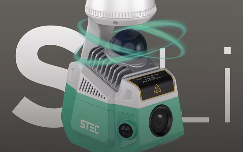
The STEC SLi SLAM GNSS RTK Receiver combines high-precision GNSS positioning, LiDAR scanning and photogrammetry in a single surveying system. It is designed for 3D point cloud collection, mapping and field measurement while supporting both conventional RTK workflows and SLAM-based surveying.
With 1,808 GNSS channels, a high-speed LiDAR system and multiple imaging sensors, the SLi can collect georeferenced point clouds and visual information for surveying and mapping projects. Its FreeFix technology also supports point collection in areas where continuous satellite visibility is difficult. RTKSurvey supplies the STEC SLi for professional surveying, mapping and engineering applications.
Key Features
• 1,808-channel multi-constellation GNSS positioning
• Integrated LiDAR and photogrammetry
• LiDAR scanning at up to 200,000 points per second
• Up to 70 m scanning range
• 360° horizontal and 59° vertical field of view
• 2 cm relative point cloud accuracy
• Four imaging sensors
• Visual positioning and AR stakeout
• FreeFix for short-duration GNSS-denied point collection
• Supports RTK, NTRIP, Static and PPK workflows
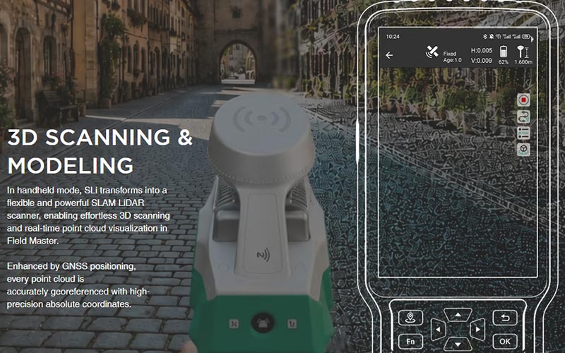
• Handheld SLAM scanning and real-time point cloud visualization
Core Specifications
GNSS Channels: 1,808
GNSS Positioning: Multi-constellation GNSS RTK
Positioning Modes: RTK, NTRIP, Static and PPK
LiDAR Point Rate: Up to 200,000 points/s
LiDAR Scanning Range: Up to 70 m
LiDAR Field of View: H 360° × V 59°
Relative Point Cloud Accuracy: 2 cm
Imaging Sensors: 4
Visual Functions: Visual positioning, RGB point cloud rendering and AR stakeout
SLAM: Integrated
FreeFix: Supported for short-duration GNSS-denied measurement
Data Collection: Point cloud and photogrammetry
Scanning Mode: Handheld SLAM scanning supported
Applications
• 3D topographic surveying
• Point cloud mapping
• Construction and engineering surveying
• Road and infrastructure mapping
• Building and site documentation
• Tunnel and underground surveying
• Earthwork and volume measurement
• Surveying in areas with limited GNSS visibility
• 3D modeling and geospatial data collection
Related Products
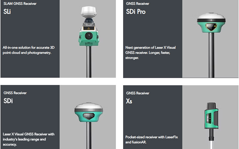
• STEC SDi Pro Laser Visual GNSS RTK Receiver
• STEC SDc Visual GNSS RTK Receiver
• STEC SV5 GNSS RTK Base Receiver



