Welcome to RTKSurvey.com

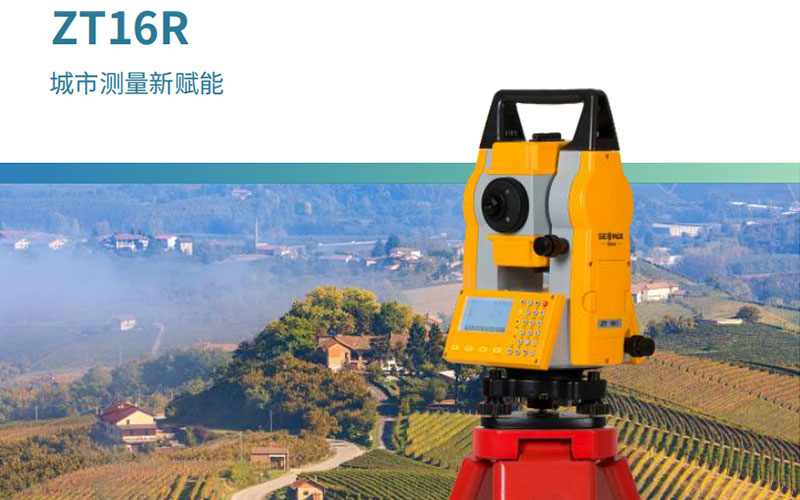
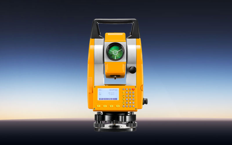
GeoMax ZT16R Total Station
The GeoMax ZT16R is a conventional total station with a focus on connected field surveying. It combines established total station measurement functions with features for real-time mapping, remote project management and mobile-device operation.
The instrument is designed for survey teams that want to keep field measurements and project information connected rather than treating the total station as an isolated measurement device. Its combination of onboard functions, wireless communication and mobile workflow support makes it suitable for a variety of urban and engineering surveying tasks.
Key Features
Conventional total station platform
Real-time graphical mapping during measurement
Remote project management capabilities
Remote diagnosis and training support
Mobile app and keyboard operation
Dual-axis liquid compensation
Bluetooth and Wi-Fi communication
USB data transfer
Laser plummet
Designed for connected surveying workflows
Why Choose the GeoMax ZT16R?
The ZT16R is aimed at users who want more connectivity from a conventional total station. Instead of relying entirely on traditional instrument-based workflows, the system allows field information to be connected with mobile devices and project management processes.
Real-time mapping can help surveyors see collected information while working, while remote project management and diagnostic functions can be useful for teams managing equipment and projects across different locations.
This makes the ZT16R particularly interesting for urban surveying, engineering teams and organizations that want to introduce more connected workflows without completely changing their existing total station practices.
Core Specifications
Instrument type: Conventional total station
Compensation: Dual-axis liquid compensation
Compensation range: ±3′
Compensation accuracy: 2″
Display and operation: Color display with field controls
Communication: USB, Bluetooth and Wi-Fi
Data storage: Internal instrument memory
Mobile operation: Supported
Real-time mapping: Supported
Remote project management: Supported
Remote diagnosis: Supported
Laser plummet: Integrated
Protection and environmental specifications: Refer to the instrument configuration and official documentation
Applications
Urban surveying
Engineering surveying
Construction surveying
Topographic measurement
Real-time field mapping
Infrastructure projects
Connected survey project management
General total station field work
Related Products
For other GeoMax total stations, consider the GeoMax ZT18AI Pro, GeoMax ZT30R Ultra and GeoMax ZT80A4.



