Welcome to RTKSurvey.com

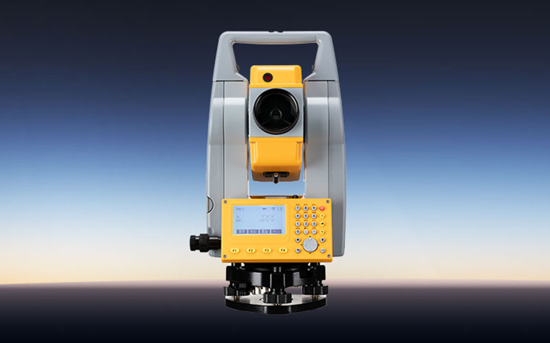
GeoMax ZT18AI Pro Total Station
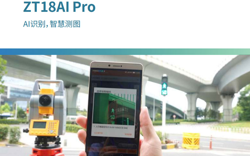
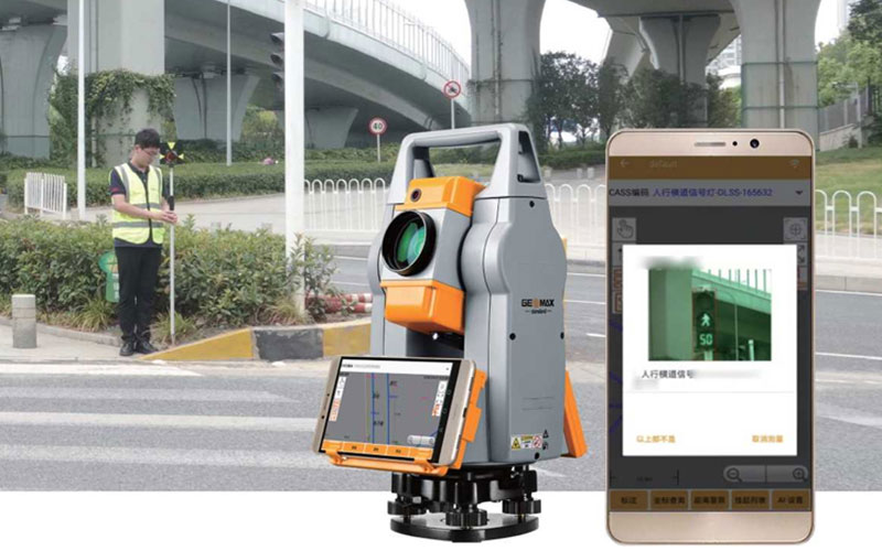
The GeoMax ZT18AI Pro is a manual total station built for surveyors who want to reduce repetitive field drafting and coding work. Its integrated camera and AI-based feature recognition can identify common field features and assist with automatic coding during measurement.
The instrument combines 2″ angular accuracy with up to 3200 m prism measurement and 500 m reflectorless measurement. Its onboard field drawing functions also allow surveyors to work with graphical information while collecting points, making the instrument particularly interesting for topographic and road surveying.
Key Features
2″ angular accuracy
AI-based feature recognition
Automatic feature coding
Recognition of at least 19 feature types
Integrated 5MP camera
Up to 3200 m prism measurement
Up to 500 m reflectorless measurement
28× telescope
3.5″-class field display
Onboard field drawing functions
Dual-axis liquid compensation
USB and Wi-Fi communication
IP54 protection
Why Choose the GeoMax ZT18AI Pro?
The ZT18AI Pro is different from a conventional total station because its main productivity advantage is not simply longer measurement range. The instrument is designed to help surveyors organize field information while points are being collected.
AI-assisted recognition can reduce the amount of manual coding required during topographic measurement, while the onboard drawing functions provide a graphical view of collected features. This can be useful when a project involves many different types of terrain or roadside features.
For survey teams looking to reduce the amount of office work after field collection, the ZT18AI Pro offers a more integrated approach to measurement, coding and field mapping.
Core Specifications
Instrument type: Manual total station
Angular accuracy: 2″
Prism range: Up to 3200 m
Reflectorless range: Up to 500 m
Prism distance accuracy: 2mm + 2ppm
Reflectorless distance accuracy: 3mm + 2ppm up to 100 m
Reflectorless distance accuracy: 5mm + 3ppm from 100 m to 500 m
Telescope magnification: 28×
Telescope aperture: 40 mm
Camera resolution: 5 MP
Camera field of view: 6° × 4.6°
AI recognition: At least 19 feature types
Compensation: Dual-axis liquid compensation
Compensation range: ±3′
Operating system: FreeRT/OS
Communication: USB and Wi-Fi
Data storage: 40,000 points
Protection: IP54
Operating temperature: -25°C to +45°C
Battery: 7.4V / 3100mAh
Operating time: Approximately 9 hours
Applications
Topographic surveying
Road surveying
Digital mapping
Feature collection
Terrain measurement
Construction surveying
Field data collection
Survey projects requiring automatic coding
Related Products
For other GeoMax total stations, consider the GeoMax ZT30R Ultra, GeoMax ZOOM49 and GeoMax ZT16R.



