Welcome to RTKSurvey.com

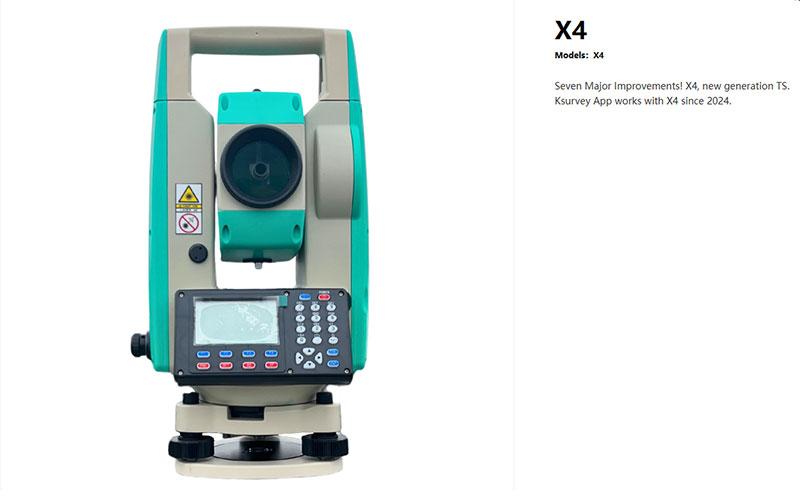
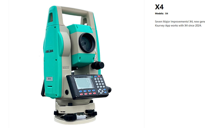
KOLIDA X4 Total Station
The KOLIDA X4 is a new-generation total station designed for efficient surveying, construction layout and field measurement. With 2″ angle accuracy, up to 1000 m reflectorless measurement and a prism range of 5000 m, it provides a practical combination of precision and measurement range for everyday survey work.
The X4 supports the KSurvey App for graphic field surveying and also works with FieldGenius, giving surveyors flexible options for measurement, stakeout and data collection. USB and Bluetooth connectivity, onboard surveying programs and a large point storage capacity further support modern field workflows.
Key Features
2″ angle accuracy
Up to 1000 m reflectorless measurement
Up to 5000 m measurement with a single prism
Up to 8000–10,000 m with a three-prism configuration
KSurvey App support for graphic surveying
FieldGenius compatibility
Coordinate measurement, stakeout, area and road design functions
Up to 120,000 points storage
USB and Bluetooth connectivity
Dual-axis compensation
Laser plummet
Up to 12 hours of operation
Why Choose the KOLIDA X4?
The KOLIDA X4 is a good choice for survey teams looking for a modern conventional total station without moving to a full robotic system. Its 2″ angular accuracy and long-distance EDM provide the measurement capability needed for general surveying and construction applications.
Support for the KSurvey App adds a more graphical approach to field work, helping users handle measurement and stakeout tasks more efficiently. FieldGenius compatibility also gives the X4 additional software flexibility when integrating it into existing survey workflows.
With its combination of long-range measurement, practical onboard functions, wireless connectivity and large data storage capacity, the X4 offers a balanced solution for daily surveying projects.
Core Specifications
Angle Accuracy: 2″
Reflectorless Range: Up to 1000 m
Prism Range: Up to 5000 m with one prism
Three-Prism Range: Up to 8000–10,000 m
Prism Distance Accuracy: 2 mm + 2 ppm
Reflectorless Distance Accuracy: 3 mm + 2 ppm
Compensation: Dual-axis, ±4′
Data Storage: Up to 120,000 points
Communication: USB, Bluetooth
Software: KSurvey App, FieldGenius compatibility
Battery Life: Up to 12 hours
Plummet: Laser plummet
Applications
Land surveying
Topographic surveying
Construction surveying
Building layout
Road and infrastructure projects
Coordinate measurement
Construction stakeout
Area measurement
General engineering surveying



