Welcome to RTKSurvey.com

3D Laser Scanner Accuracy vs Resolution: What Buyers Need to Know
A 3D laser scanner may capture hundreds of thousands or millions of points per second, but does that mean its measurements are accurate?
Not necessarily.
When comparing laser scanning equipment, buyers often encounter specifications such as accuracy, precision, resolution, point density and scanning range. These terms describe different aspects of scanner performance.
Understanding the differences can help surveying companies avoid purchasing equipment that produces detailed-looking point clouds but cannot meet their project tolerances.
Quick Answer: Accuracy vs Resolution
Accuracy describes how closely measured positions agree with their reference values. Resolution describes the level of spatial detail a scanning system can capture or distinguish.
A point cloud can contain millions of closely spaced points and still have a positional offset or geometric distortion.
Likewise, a scanner may provide accurate measurements of large surfaces without capturing enough detail to identify small bolts, edges or narrow pipes.
For professional surveying, both accuracy and sufficient detail matter, but they must be evaluated separately.
1. What Does 3D Laser Scanner Accuracy Mean?
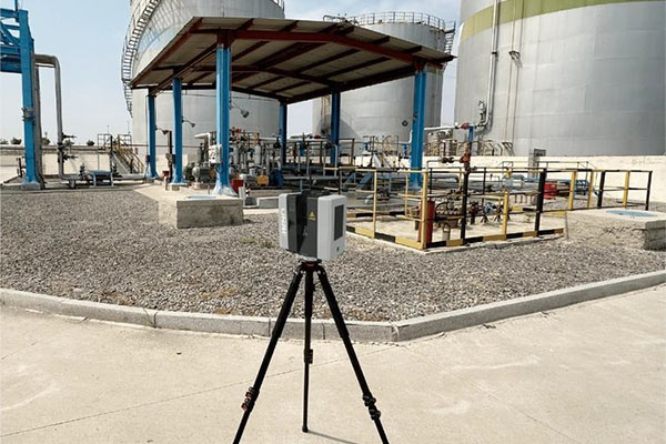
Accuracy is not always expressed in the same way across manufacturers.
A scanner datasheet may list several different performance measures.
Ranging Accuracy
Ranging accuracy concerns the difference between the scanner's measured distance and a reference distance under specified conditions.
It describes one part of the measurement process.
It does not automatically represent the accuracy of a complete registered point cloud.
3D Point Accuracy
Three-dimensional point accuracy also depends on angular measurements, instrument geometry and other sources of uncertainty.
Even when range measurements are precise, angular errors can contribute to positional uncertainty, particularly at longer distances.
Relative Accuracy
Relative accuracy describes agreement between positions, distances or geometric features within a dataset.
For example, a point cloud may represent the width of a room consistently while the entire room is positioned incorrectly in the project's coordinate system.
Absolute or Georeferenced Accuracy
Absolute accuracy concerns agreement with the intended external coordinate reference.
It depends on factors such as survey control, coordinate transformations, scanner positioning and registration.
Buying tip: Always ask what the advertised accuracy value actually represents, how it was tested and whether it applies to individual measurements or the final processed dataset.
2. What Is Laser Scanner Resolution?
Resolution describes how much geometric detail the scanner can capture or distinguish.
For a stationary terrestrial laser scanner, operators may select a scan setting that determines angular sampling intervals or nominal point spacing at a specified distance.
However, point spacing is not the same as effective spatial resolution.
The laser beam has a physical footprint on the measured surface. If adjacent beam footprints overlap significantly, collecting more points does not necessarily reveal smaller features.
The scanner's optical characteristics, range, surface properties and processing methods also affect the detail that can be resolved.
For handheld SLAM systems, the distribution of points additionally depends on scanner movement, sensor coverage and the mapping process.
3. Point Density vs Accuracy: Why More Points Are Not Always Better
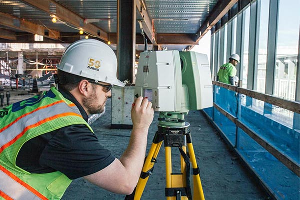
Point density describes how many measured points cover a given surface or area.
Higher point density can improve the representation of small features when the sensor can genuinely resolve those features.
But higher density cannot automatically correct:
Incorrect scanner positioning
Registration errors between scan stations
SLAM trajectory drift
Poor survey control
Surface-related measurement bias
Incorrect coordinate transformations
Imagine scanning a concrete wall.
A dense point cloud may clearly show the wall's texture and small surface variations.
If the entire scan has been registered 25 mm away from its correct position, those extra points do not remove the positional error.
The point cloud can look detailed while still failing the project's coordinate accuracy requirement.
4. How Scanning Distance Affects Point Spacing
For a scanner using a fixed angular sampling interval, point spacing generally increases with distance.
A simplified relationship is:
Point spacing ≈ Distance × Angular interval (in radians)
For example, assume a hypothetical scanner uses an angular interval of 0.02 degrees.
That corresponds to approximately 0.000349 radians.
| Distance | Approximate Point Spacing |
|---|---|
| 10 m | 3.5 mm |
| 20 m | 7.0 mm |
| 50 m | 17.5 mm |
These values illustrate sampling geometry only. They are not the specifications of any particular scanner, nor do they represent measurement accuracy or guaranteed feature resolution.
Real point spacing also depends on the surface orientation, scanning pattern and actual measurement returns.
This is why a scanner setting suitable for documenting a large building facade may not be sufficient for inspecting small mechanical components from the same distance.
5. Five Factors That Affect Final Point Cloud Accuracy
Scanner Measurement Performance
Distance and angular measurement quality establish part of the uncertainty of each point.
Buyers should examine the test conditions and statistical definitions in the manufacturer datasheet.
Registration Quality
When multiple stationary scans are combined, the registration process introduces another source of uncertainty.
Good local overlap does not necessarily prove that the entire point cloud is correctly positioned.
Registration residuals should be reviewed together with independent checks.
SLAM Trajectory Quality
Handheld SLAM scanners estimate their movement while capturing the environment.
Long featureless corridors, repetitive structures and poor loop closure may lead to trajectory drift or geometric distortion.
For more detail, read Handheld SLAM LiDAR vs Terrestrial Laser Scanner.
Surface and Scanning Geometry
Reflective, dark, transparent or irregular surfaces can produce different measurement behavior.
A shallow beam incidence angle can enlarge the laser footprint and make some features harder to measure reliably.
Survey Control and Georeferencing
A point cloud may be internally consistent but still contain a systematic coordinate offset.
Independent survey control and check points help determine whether the final dataset meets the project's positional requirements.
6. Practical Example: Scanning an Industrial Plant
Consider a hypothetical factory renovation project.
The survey team needs a 3D model of production rooms, structural columns and mechanical pipework.
A scanner producing dense point clouds may be useful for capturing pipe geometry and equipment details.
However, the project also requires reliable positions for new equipment foundations.
The team therefore defines two separate quality requirements:
Geometric detail: The point cloud must contain sufficient information to identify relevant pipes, edges and structural features.
Positional accuracy: Critical foundation and equipment interface locations must agree with independently surveyed control within the project's specified tolerances.
After scanning, the team checks registration quality, examines difficult surfaces and compares selected point cloud features with independent measurements.
If certain mechanical interfaces require tighter tolerances than the scanning workflow can demonstrate, those features are measured separately with an appropriate surveying instrument.
This approach avoids treating a single advertised scanner accuracy figure as proof that every deliverable is suitable.
7. How to Verify Point Cloud Accuracy Before Delivery
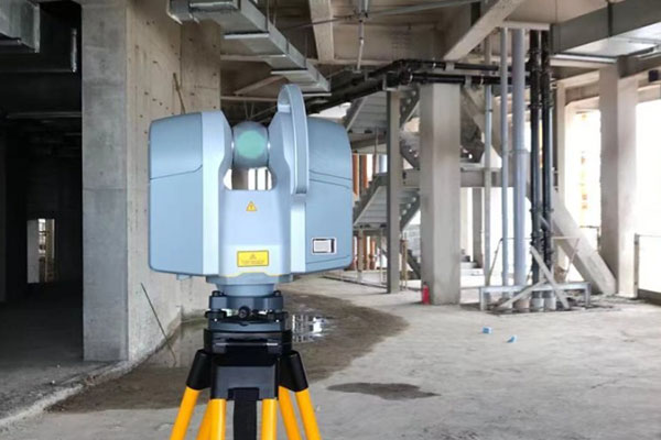
A useful verification workflow includes the following steps.
Define tolerances before scanning. Identify the required accuracy and level of detail for the final deliverables.
Establish reliable survey control. Use a control network appropriate for the project.
Plan scanning geometry. Provide adequate coverage, overlap and suitable viewing angles.
Check registration. Review scan alignment and investigate suspicious residuals or visible misalignment.
Use independent checkpoints. Compare suitable point cloud features with separately surveyed reference measurements.
Inspect difficult areas. Pay particular attention to edges, reflective surfaces, long corridors and poorly constrained regions.
Document the results. Record the validation method, observed differences and applicable acceptance criteria.
Where checkpoints are used, avoid relying only on the same targets that were used to constrain the registration. Independent checks provide stronger evidence of final accuracy.
8. What Should Buyers Compare in Scanner Specifications?
| Specification | What It Tells You | What to Ask |
|---|---|---|
| Ranging accuracy | Distance measurement performance | Under what conditions was it tested? |
| 3D point accuracy | Positional measurement performance | At what distance and confidence level? |
| Scan resolution | Nominal sampling or detail capability | How is resolution defined? |
| Point rate | Speed of point acquisition | What point rate is usable in the intended workflow? |
| Maximum range | Potential measurement distance | On which target reflectivity? |
| Registration method | How separate scans are aligned | Can independent control be used? |
| Point cloud formats | Software interoperability | Are E57, LAS or other required formats supported? |
| Processing software | Workflow and deliverables | Are licenses or subscriptions required? |
Not every specification is available or defined identically for every scanner. Compare the actual models using their original datasheets rather than relying only on marketing summaries.
Explore our 3D Laser Scanners to review equipment options from multiple brands.
Frequently Asked Questions
Does higher point density mean higher accuracy?
No. Higher point density can improve geometric coverage, but it does not independently correct ranging, registration or coordinate errors.
Is 1 mm resolution the same as 1 mm accuracy?
No. A nominal 1 mm point spacing or resolution setting does not guarantee that measured points are within 1 mm of their true positions.
Can a handheld SLAM scanner be accurate enough for professional surveying?
Yes, for applications where its validated performance meets the required tolerances. Suitability depends on the specific system, environment, scanning route, control and processing.
How can I compare scanner accuracy across different brands?
Compare the definitions and test conditions behind the published specifications, then request representative datasets or a demonstration under conditions relevant to your project.
Final Thoughts
3D laser scanner accuracy, resolution and point density are related, but they are not interchangeable.
A dense point cloud is not automatically accurate, and a scanner with an impressive point rate is not necessarily suitable for high-precision dimensional work.
The best purchasing decision starts with the required deliverables, measurement tolerances, field conditions and validation workflow.
RTKSurvey.com is a multi-brand supplier of 3D Laser Scanners for surveying, construction and industrial mapping applications.
For an introduction to scanning methods and applications, read What Is a 3D Laser Scanner?.