Welcome to RTKSurvey.com

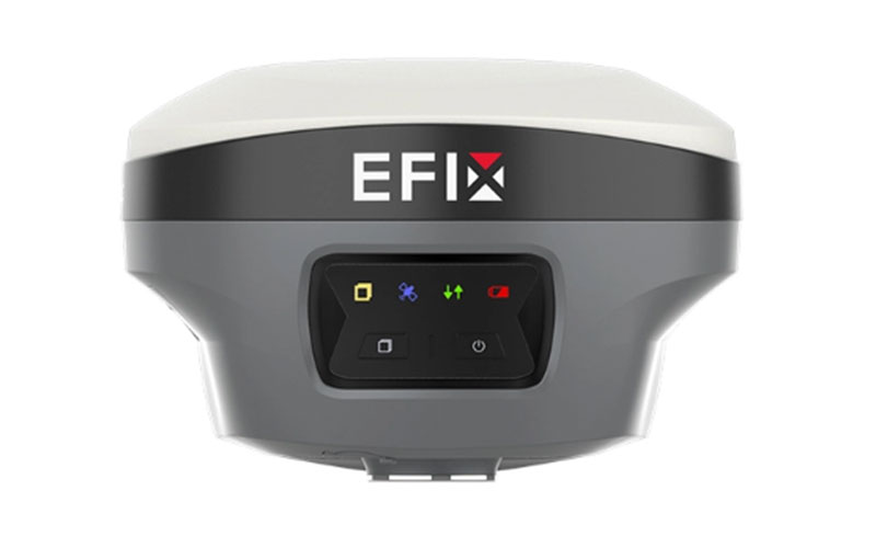
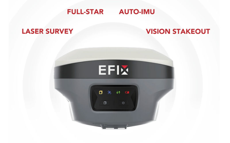
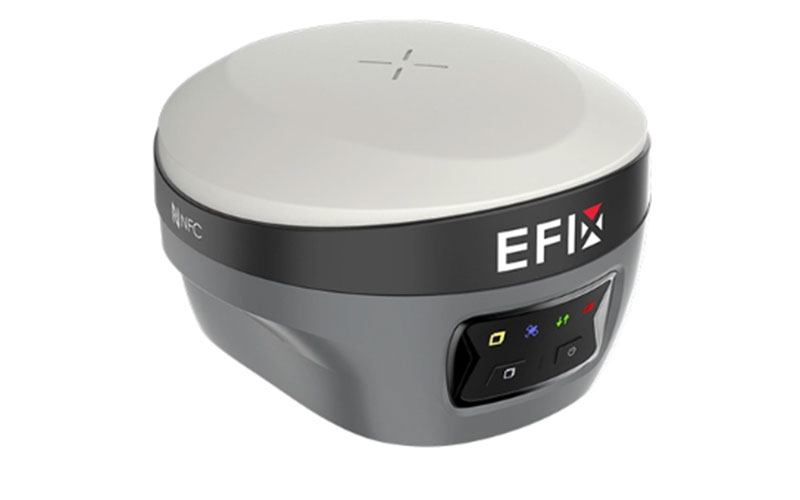
EFIX F8L Laser IMU GNSS RTK Receiver
The EFIX F8L is a compact laser IMU-RTK GNSS receiver designed for professional surveying, construction and engineering applications. It combines multi-constellation GNSS positioning with laser measurement, 4D Auto-IMU and vision-assisted field workflows, allowing surveyors to measure points that are difficult or unsafe to occupy directly. RTKSurvey.com supplies the EFIX F8L for land surveying, construction layout, road work and other field measurement applications.
Key Features:
1608-channel multi-constellation GNSS positioning
Integrated laser measurement for hard-to-reach points
4D Auto-IMU with up to 60° tilt compensation
AR navigation and vision stakeout support
RTK positioning with centimeter-level accuracy
Built-in UHF communication for RTK field workflows
Compact design for portable field surveying
Supports professional workflows through EFIX eField software
Core Specifications:
GNSS channels: 1608
RTK accuracy: H 8 mm + 1 ppm RMS; V 15 mm + 1 ppm RMS
PPK accuracy: H 3 mm + 1 ppm RMS; V 5 mm + 1 ppm RMS
IMU: 4D Auto-IMU
Tilt compensation: up to 60°
IMU update rate: 200 Hz
Laser: green laser measurement, up to 50 m
UHF: 410–470 MHz
Positioning rate: 1 Hz, 5 Hz and 10 Hz
Battery: 4900 mAh
Operating time: up to 20 hours in RTK rover mode without camera; up to 15 hours for laser or vision surveying
Weight: approximately 800 g
Operating temperature: -40°C to +65°C
Applications:
Land surveying
Topographic surveying
Construction layout
Road and infrastructure surveying
Engineering surveying
Earthwork measurement
Hard-to-reach point measurement
Utility and site surveying
Related Products:



