Welcome to RTKSurvey.com

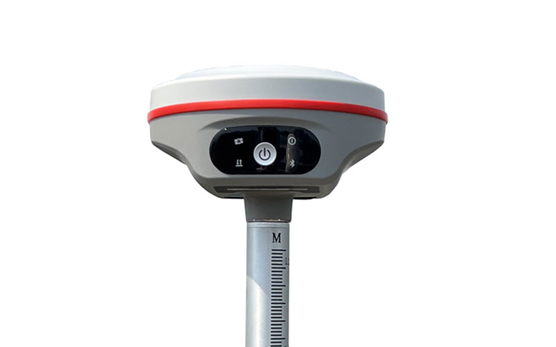
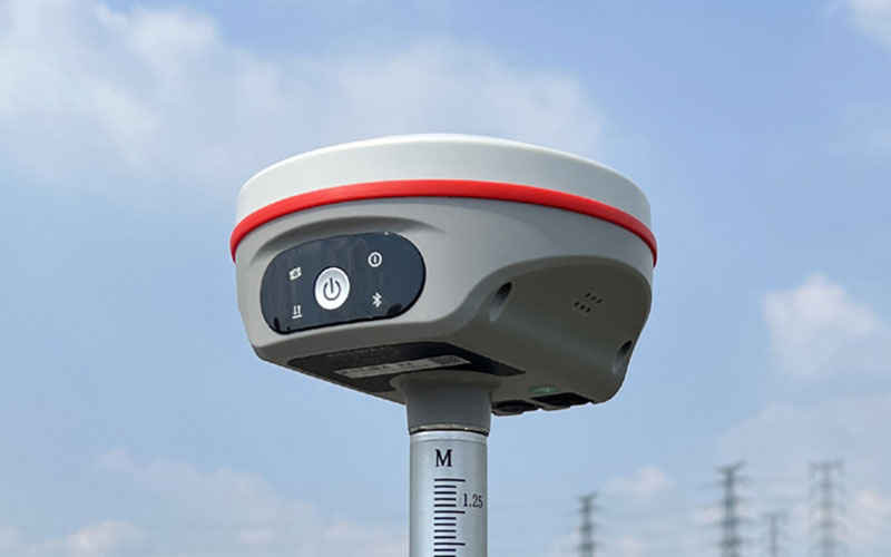
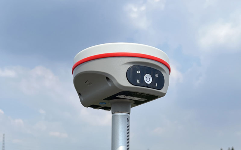
KOLIDA K2 GNSS RTK Receiver
The KOLIDA K2 is a compact GNSS RTK receiver designed for daily surveying and stakeout work. With 1598 GNSS channels, integrated UHF radio and 60° IMU tilt surveying, it provides a practical solution for RTK field operations without requiring the pole to remain perfectly vertical during measurement.
RTKSurvey supplies the KOLIDA K2 for surveying contractors, engineering teams and other professional users looking for a compact RTK receiver with integrated radio and tilt measurement capabilities.
Key Features
• 1598-channel GNSS tracking
• GPS, GLONASS, BeiDou, Galileo, QZSS and SBAS support
• BDS PPP and Galileo HAS support
• Built-in UHF transceiver
• Typical radio range of 8–15 km
• IMU tilt surveying up to 60°
• Built-in 6800 mAh battery
• More than 15 hours of rover operation
• Wi-Fi and Web UI
• Linux operating system
• Compact receiver design
Core Specifications
GNSS Channels: 1598
RTK Accuracy, UHF: H ±8 mm + 1 ppm; V ±15 mm + 1 ppm
RTK Accuracy, Network: H ±8 mm + 0.5 ppm; V ±15 mm + 0.5 ppm
Static Accuracy: H ±2.5 mm + 0.5 ppm; V ±5 mm + 0.5 ppm
RTK Initialization: 2–8 s
Positioning Output Rate: 1–20 Hz
IMU Tilt: Up to 60°
Radio Frequency: 410–470 MHz
Typical Radio Range: 8–15 km
Battery: 6800 mAh
Storage: 4 GB internal
Connectivity: Wi-Fi and 4G
Operating System: Linux
Endurance: More than 15 hours in rover mode
Applications
• Topographic surveying
• Construction and engineering surveying
• RTK stakeout
• Network RTK operations
• UHF base and rover surveying
• Utility and infrastructure projects
• General field positioning
Related Products
• KOLIDA K9s
• KOLIDA K50X / K50
• KOLIDA K60 Max Pro
• KOLIDA ME Plus



