Welcome to RTKSurvey.com

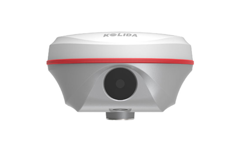
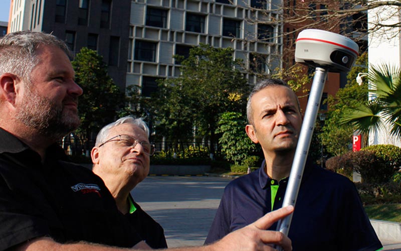
KOLIDA K50X/K50 Visual GNSS RTK Receiver
The KOLIDA K50X and K50 combine GNSS RTK positioning with camera-based surveying functions. The system supports visual positioning, AR stakeout and 3D modeling, providing additional measurement options for projects that require efficient field data collection.
The K50X and K50 share the same 1698-channel GNSS platform and Farlink 2.0 radio technology, while visual positioning and 3D modeling functions are identified by KOLIDA as optional on the K50X.
RTKSurvey.com supplies the KOLIDA K50X and K50 for professional surveying and construction applications.
Key Features
• 1698-channel GNSS tracking
• S805 GNSS engine with dual-engine positioning
• Visual positioning for coordinate measurement
• Dual-camera AR stakeout on K50X
• 3D modeling functions, with optional availability on K50X
• Farlink 2.0 built-in radio
• IMU tilt surveying
• GPS, GLONASS, BeiDou, Galileo, QZSS and SBAS support
• Galileo HAS and BDS PPP support
• Up to 16 hours static operation
• Up to 12 hours rover operation
Core Specifications
GNSS Channels: 1698
RTK Accuracy, UHF: H ±8 mm + 1 ppm; V ±15 mm + 1 ppm
RTK Accuracy, Network: H ±8 mm + 0.5 ppm; V ±15 mm + 0.5 ppm
Static Accuracy: H ±2.5 mm + 0.5 ppm; V ±5 mm + 0.5 ppm
RTK Initialization: 2–8 s
Positioning Output Rate: 1–20 Hz
Radio: Built-in transmitting and receiving
Radio Power: 1/2 W
Storage: 16 GB internal; 64 GB external support
Connectivity: Wi-Fi
Operating System: Linux
Web UI: Yes
Endurance: Up to 16 hours static; up to 12 hours rover; up to 10 hours UHF base
Applications
• Topographic surveying
• Engineering and construction surveying
• Visual positioning
• AR stakeout
• CAD point and line stakeout
• 3D modeling
• Field data collection
• Infrastructure surveying
Related Products



