Welcome to RTKSurvey.com

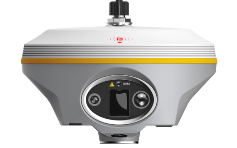
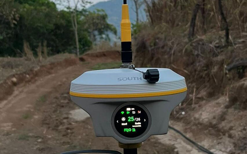
SOUTH INNO8 Pro Laser GNSS RTK Receiver
The SOUTH INNO8 Pro is a GNSS RTK receiver that combines high-channel GNSS positioning with IMU tilt measurement, laser assistance and camera-based surveying functions. Its 120° IMU supports measurements without requiring the pole to remain vertical, while the integrated green laser can be used for points that are difficult to reach directly. Three cameras provide video, laser-aided targeting and AR stakeout functions. RTKSurvey.com supplies the INNO8 Pro for surveying and construction workflows that require flexible measurement methods.
Key Features
• 1698-channel multi-constellation GNSS tracking
• Calibration-free IMU with up to 120° tilt capability
• 150 m green laser range under standard conditions
• Three integrated cameras for video, laser targeting and AR stakeout
• Farlink UHF communication
• 4G cellular connectivity and NTRIP support
• 64 GB internal storage
• 1.39-inch circular touchscreen
• Up to 30 hours battery life
• IP68 protection
Core Specifications
GNSS Channels: 1698
RTK Accuracy (UHF): H 8 mm + 1 ppm RMS; V 15 mm + 1 ppm RMS
RTK Accuracy (NTRIP): H 8 mm + 0.5 ppm RMS; V 15 mm + 0.5 ppm RMS
RTK Initialization: 2–8 seconds
IMU Tilt Angle: 0°–120°
IMU Refresh Rate: 400 Hz
Laser: Class 3R green laser
Laser Range: 150 m; up to 200 m under optimal conditions
Laser Accuracy: 2 cm within 10 m; 4 cm within 20 m
Cameras: 8 MP video camera, 8 MP laser-aiding camera, 2 MP AR stakeout camera
UHF Frequency: 410–470 MHz
UHF Power: 3 W
UHF Range: Typically 8–10 km; up to 12–15 km in optimal conditions
Battery: 10,000 mAh
Operating Time: Up to 30 hours
Weight: 1.28 kg with battery
Internal Storage: 64 GB
Protection: IP68
Operating Temperature: -45°C to +75°C
Applications
The INNO8 Pro is suitable for topographic surveys, construction stakeout, infrastructure measurement, mapping, cadastral work and projects involving obstructed or difficult-to-reach points.
Related Products
SOUTH INNO3
SOUTH Insight V3
SOUTH Galaxy G5
SOUTH ALPS 2 Base/Rover



