Welcome to RTKSurvey.com

SOUTH Insight V3 GNSS RTK Receiver
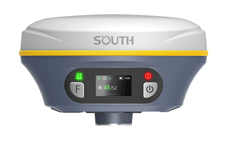
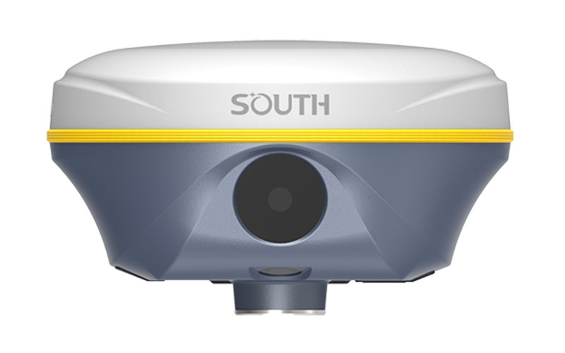
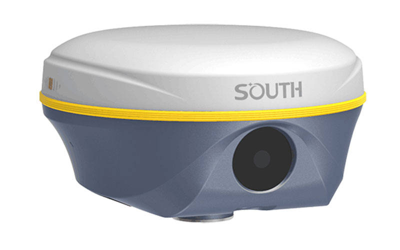
The SOUTH Insight V3 is a GNSS RTK receiver designed around visual surveying, AR stakeout and improved field positioning. It uses a 1698-channel GNSS engine together with a 5th-generation IMU and dual cameras for visual positioning and AR-assisted operations. A second positioning algorithm is available for challenging VRS RTK conditions, while Farlink 2.0 provides a stable UHF correction link. RTKSurvey supplies the SOUTH Insight V3 for professional surveying and engineering projects.
Key Features
• 1698-channel GNSS receiver
• Dual-engine positioning for additional RTK positioning options
• 5th-generation IMU
• Dual cameras for visual positioning and AR stakeout
• Supports 3D modeling by video shooting
• Farlink 2.0 radio with lock-base function
• 60° IMU tilt capability
• 16 GB internal storage
• Up to 25 hours rover operation
• IP68 protection
Core Specifications
GNSS Channels: 1698
RTK Accuracy (UHF): H 8 mm + 1 ppm RMS; V 15 mm + 1 ppm RMS
RTK Accuracy (NTRIP): H 8 mm + 0.5 ppm RMS; V 15 mm + 0.5 ppm RMS
RTK Initialization: 2–8 seconds
IMU Tilt Angle: 0°–60°
UHF Communication Range: Typically up to 8 km with Farlink
Cellular Network: 4G
Cameras: 8 MP visual positioning camera; 2 MP AR stakeout camera
Battery: 6800 mAh
Operating Time: Up to 25 hours in rover mode
Weight: 860 g with battery
Internal Storage: 16 GB
Protection: IP68
Operating Temperature: -45°C to +75°C
Applications
The Insight V3 can be used for topographic surveying, construction stakeout, visual positioning, mapping, 3D data collection and engineering projects where AR-assisted field workflows are useful.
Related Products
SOUTH INNO8 Pro
SOUTH INNO3
SOUTH Galaxy G5
SOUTH ALPS 2 Base/Rover



