Welcome to RTKSurvey.com

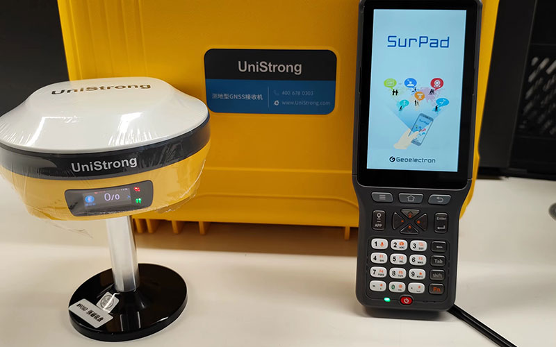
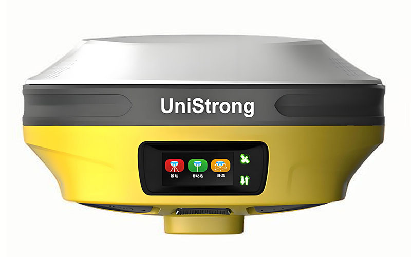
Unistrong G20 GPS RTK Receiver
The Unistrong G20 is a multi-function GNSS RTK receiver combining satellite positioning, IMU tilt surveying, video measurement and AR-assisted stakeout. Its dual-camera configuration allows operators to extend point measurement into areas that may be difficult to occupy directly, while the 60° IMU system supports pole-tilt measurement during routine field work. RTKSurvey.com supplies the G20 for construction, engineering, topographic and earthwork surveying.
Key Features
• Full-constellation, multi-frequency GNSS positioning
• 60° IMU tilt surveying with 400 Hz update rate
• Video measurement for extending point collection beyond direct pole access
• Dual 2MP cameras with 72° FOV
• AR-assisted visual stakeout
• Supports BDS PPP and Galileo HAS services
• Integrated UHF and 4G communication
• IP67 field protection
Core Specifications
RTK Accuracy: H 8 mm + 1 ppm, V 15 mm + 1 ppm
Static Accuracy: H 2.5 mm + 0.5 ppm, V 5 mm + 0.5 ppm
Tilt Surveying: 0–60°
IMU Update Rate: 400 Hz
Cameras: 2 MP + 2 MP
Camera FOV: 72°
Video Measurement Range: Approx. 2–15 m
Video Measurement Accuracy: Approx. 2–4 cm
Internal Memory: 8 GB
Battery Capacity: 13,600 mAh
Working Time: Up to 16 hours
Weight: Approx. 897 g
Protection: IP67
Applications
• Construction surveying
• Earthwork and volume measurement
• Building and infrastructure layout
• AR stakeout
• Video-assisted point measurement
• Topographic surveying
• Engineering field data collection
Related Products
• Unistrong G980SE RTK GPS Receiver
• Unistrong eRTK10 eSurvey AR Visual Stakeout GNSS Receiver
• Unistrong G970II Pro GNSS RTK GPS Receiver
• Unistrong E100 Network RTK Receiver



