Welcome to RTKSurvey.com

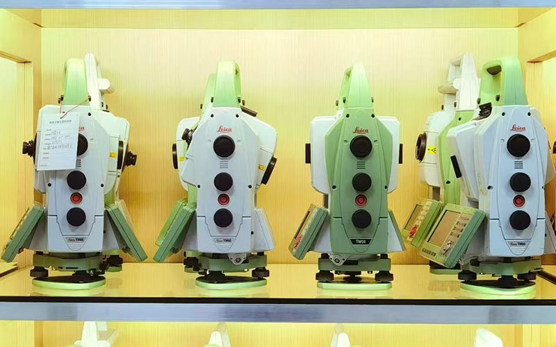
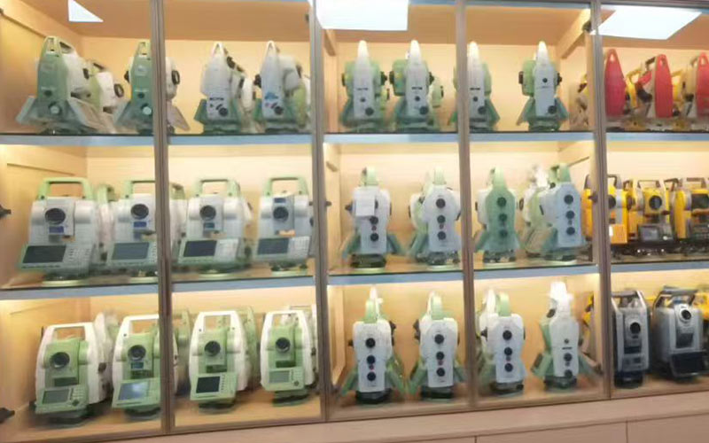
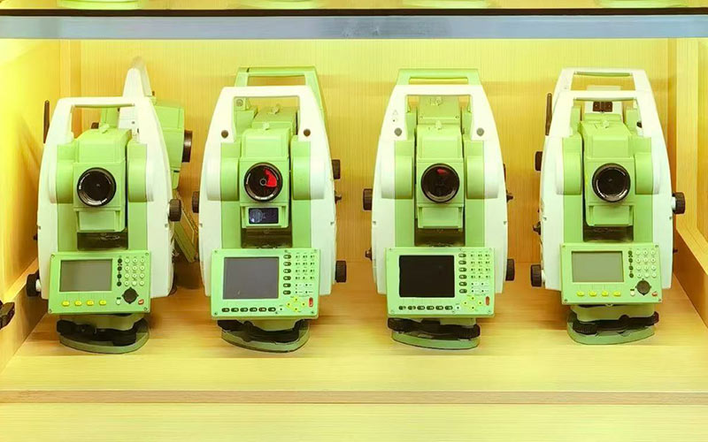
Used Leica TS09 Total Station
The Leica TS09 is a high-accuracy manual total station designed for demanding surveying, construction and engineering applications. The TS09plus combines precise angle measurement, reflectorless EDM, a color touchscreen and Leica FlexField Plus software for efficient field workflows. Actual condition, configuration and included accessories may vary by unit. Contact RTKSurvey for current availability.
Key Features
1″, 2″, 3″ and 5″ accuracy versions
Up to 3,500 m prism measurement range
R500 or R1000 reflectorless EDM options
30× telescope
Quadruple-axis compensation
Color touchscreen with graphical interface
Electronic Guide Light (EGL)
Leica FlexField Plus onboard software
USB and Bluetooth connectivity
Laser plummet
Up to 100,000 stored fixpoints
IP55 protection
Used Leica TS09 for High-Accuracy Surveying
The used Leica TS09 is suitable for topographic surveys, construction layout, precise stakeout, road and infrastructure projects, and engineering measurement. Its color touchscreen, graphical field interface and Electronic Guide Light provide a more advanced workflow than basic manual total stations.
For used equipment, buyers should confirm the actual angular accuracy, EDM configuration, software, battery condition and included accessories before purchase.
Core Specifications
Model: Leica TS09 / TS09plus
Angular accuracy: 1″ / 2″ / 3″ / 5″ depending on configuration
Prism range: up to 3,500 m
Reflectorless range: over 500 m / over 1,000 m depending on EDM
Prism distance accuracy: 1.5 mm + 2 ppm
Reflectorless accuracy: 2 mm + 2 ppm
Telescope magnification: 30×
Compensator: quadruple-axis
Display: Q-VGA color touchscreen
Guide Light: Electronic Guide Light, 5–150 m
Internal memory: up to 100,000 fixpoints
Data formats: GSI, DXF, LandXML and ASCII
Software: Leica FlexField Plus
Interfaces: USB, serial and Bluetooth
Battery: Lithium-Ion
Operating time: approximately 30 hours
Protection: IP55
Applications
High-accuracy topographic surveying
Construction surveying
Building layout
Precision stakeout
Road and infrastructure surveying
Engineering measurement
As-built surveying
General field surveying



