Welcome to RTKSurvey.com

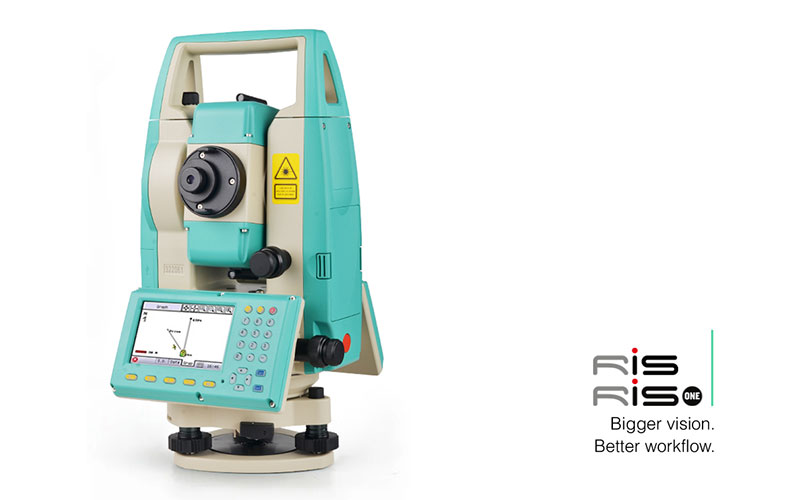
RUIDE RIS Graphical Total Station
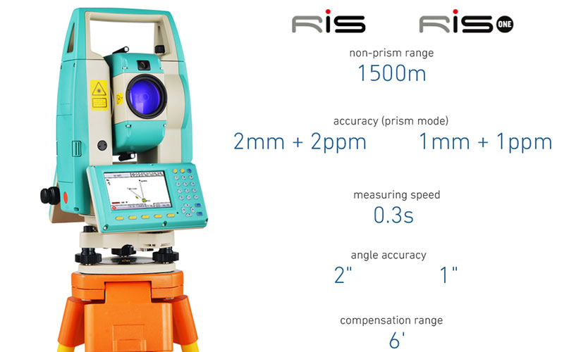
The RUIDE RIS is a graphical total station designed for efficient field surveying, construction layout and visual measurement workflows. It combines 1″ or 2″ angle accuracy with reflectorless measurement up to 1500 m and integrates a camera, Guide Light and UltraPlumb system into the instrument.
The graphical interface is designed to make field measurement and layout easier to visualize, while the built-in camera provides additional visual information when working with survey points and construction targets. A dedicated measurement button allows quick access to distance measurement during field operations.
Key Features
1″ or 2″ angle accuracy
Up to 1500 m reflectorless measurement
UltraPlumb system
Color touchscreen
Integrated camera
Guide Light
Dedicated measurement button
Dual-axis compensation
Graphical surveying workflow
Long-range reflectorless EDM
Designed for surveying and construction layout
Graphical Surveying & Visual Field Work
The RIS is designed around a more visual approach to total station operation. Its color touchscreen provides a graphical field interface, while the integrated camera can assist surveyors in identifying and working with targets in the field.
The combination of Guide Light and camera functions is particularly useful for construction layout and point positioning, where clear target identification can improve field efficiency. The dedicated measurement button also allows surveyors to take measurements quickly without navigating through multiple menu screens.
Why Choose the RUIDE RIS?
The RUIDE RIS is a strong option for surveyors who want more than conventional point-and-measure operation. Its graphical interface, camera and Guide Light provide additional visual tools for measurement and layout work.
With up to 1500 m reflectorless measurement, the RIS can measure many targets without requiring a prism, which is useful when points are difficult or impractical to access directly.
The combination of 1″/2″ angular accuracy, UltraPlumb, long-range reflectorless EDM and visual field functions makes the RIS suitable for a wide range of topographic, construction and engineering projects.
Core Specifications
Angle Accuracy: 1″ / 2″
Reflectorless Range: Up to 1500 m
Distance Measurement: Prism and reflectorless measurement
Compensation: Dual-axis
Plummet: UltraPlumb
Display: Color touchscreen
Camera: Integrated camera
Target Assistance: Guide Light
Measurement Control: Dedicated measurement button
Interface: Graphical field operation
Applications
Topographic surveying
Land surveying
Construction surveying
Building layout
Construction stakeout
Road and infrastructure projects
Engineering surveying
Reflectorless measurement
Visual target positioning
General field measurement



