Welcome to RTKSurvey.com

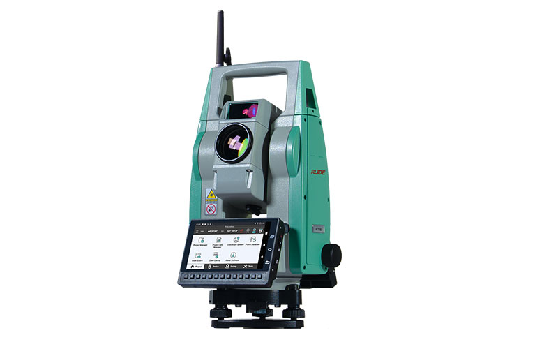
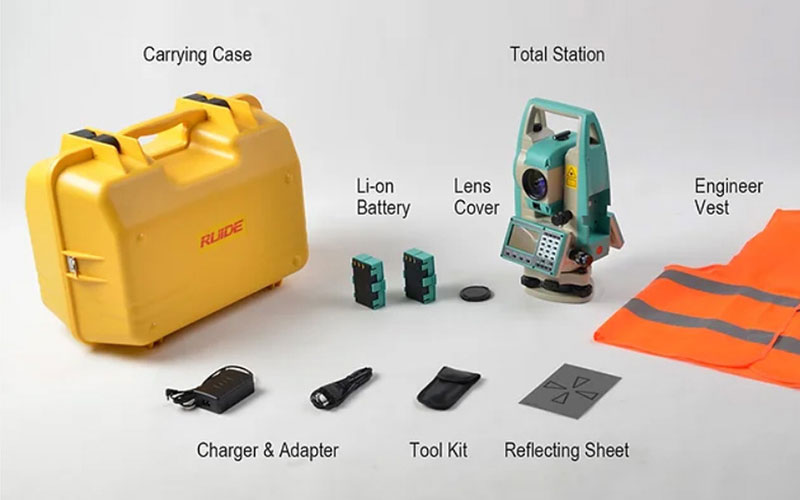
RUIDE RTS1 Robotic Total Station
The RUIDE RTS1 is a robotic total station designed for one-person surveying, construction layout and efficient field measurement. With 1″ angle accuracy, automatic prism recognition up to 1200 m and prism search and tracking up to 300 m, it helps reduce manual instrument operation during field work.
The RTS1 supports RUIDE RTK-GO software and Prism Plus RTK, allowing a GNSS RTK receiver to work together with the robotic total station. When the prism is temporarily blocked or moves outside the line of sight, RTK positioning can help the RTS1 locate the prism and resume tracking more efficiently.
Key Features
1″ angle accuracy
Up to 1200 m prism recognition
Up to 300 m prism search and tracking
360° horizontal search range
±18° vertical search range
Prism Plus RTK support
RTK-GO software for robotic surveying
5.5-inch touchscreen
13 shortcut keys
4 GB RAM + 64 GB storage
4G LTE connectivity
Long-range Zigbee communication up to 600 m
Automated monitoring option
Why Choose the RUIDE RTS1?
The RUIDE RTS1 is designed for surveyors who want to complete measurement and layout work with a single operator. Automatic prism recognition, search and tracking help reduce the need to repeatedly aim and adjust the total station as the prism moves between survey points.
Its Prism Plus RTK function adds another positioning option by combining GNSS RTK with robotic total station measurement. This is particularly useful when the prism temporarily loses line of sight because of buildings, terrain or other obstacles.
The RTS1 also integrates RTK-GO software with a touchscreen interface and wireless communication, providing a modern workflow for surveying, mapping and stakeout projects.
Core Specifications
Angle Accuracy: 1″
Prism Recognition: Up to 1200 m
Prism Search & Tracking: Up to 300 m
Horizontal Search Range: 360°
Vertical Search Range: ±18°
RTK Integration: Prism Plus RTK
Software: RTK-GO
Memory: 4 GB RAM + 64 GB storage
Display: 5.5-inch touchscreen
Shortcut Keys: 13
Mobile Network: 4G LTE
Zigbee Communication: Up to 600 m
Monitoring: Automated monitoring option
Applications
One-person surveying
Topographic surveying
Construction surveying
Building layout
Construction stakeout
Road and infrastructure projects
Engineering surveying
Robotic surveying
GNSS and total station integrated surveying
Automated monitoring



