Welcome to RTKSurvey.com

RUIDE RNS Android Total Station
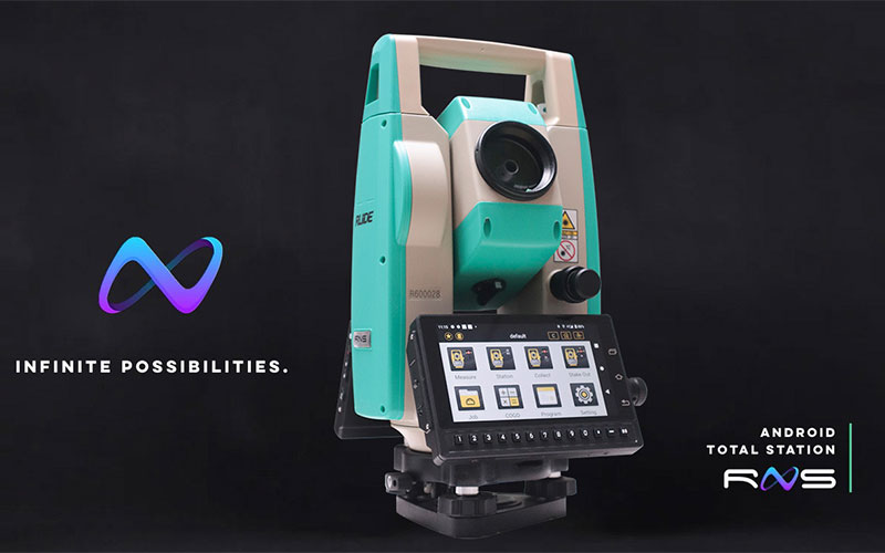
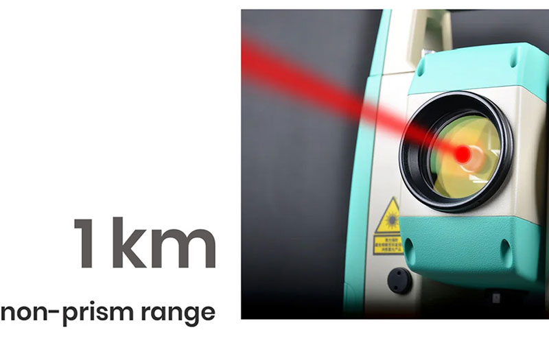
The RUIDE RNS is an Android total station designed for modern land surveying, construction layout and engineering measurement. It combines 2″ angle accuracy with up to 1000 m reflectorless measurement and 5000 m prism measurement, providing a practical range for everyday field work.
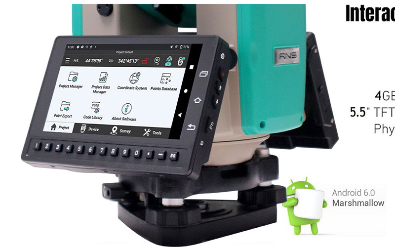
Running Android 11, the RNS features a 5.5-inch color touchscreen and 4 GB RAM with 64 GB internal storage. Bluetooth, WLAN and 3G/4G connectivity support flexible data communication, while RUIDE RTK GO software provides graphical measurement and stakeout functions for a more efficient field workflow.
Key Features
2″ angle accuracy
Up to 1000 m reflectorless measurement
Up to 5000 m single-prism measurement
Android 11 operating system
5.5-inch color touchscreen
4 GB RAM + 64 GB ROM
Bluetooth and dual-band WLAN
Micro SIM with 3G/4G support
USB Type-C and TF card interfaces
Dual-axis liquid-electric compensation
Quick measurement button
RUIDE RTK GO software support
Laser plummet
Android-Based Field Workflow
The RNS combines total station measurement with the flexibility of an Android platform. Its touchscreen interface provides a familiar way to access measurement functions and field data, while the internal storage and wireless communication options make it easier to manage survey files in the field.
With RUIDE RTK GO, surveyors can use graphical measurement and CAD-based stakeout functions rather than relying only on traditional point-by-point workflows. This makes the RNS suitable for teams looking to modernize conventional total station operations without moving to a robotic instrument.
Why Choose the RUIDE RNS?
The RUIDE RNS offers a useful balance between conventional total station measurement and modern Android-based operation. Its 2″ angular accuracy and 1000 m reflectorless range cover many common surveying and construction requirements.
The 5.5-inch color touchscreen, 4 GB + 64 GB hardware configuration and 3G/4G connectivity give the instrument a more flexible field interface than a traditional keypad-only total station.
For surveyors who need long-range EDM, graphical field software and wireless communication in one instrument, the RNS is a practical option for daily surveying and construction work.
Core Specifications
Angle Accuracy: 2″
Angle Measurement: Absolute encoding
Reflectorless Range: Up to 1000 m
Single Prism Range: Up to 5000 m
Prism Distance Accuracy: ±(2 mm + 2 ppm) m.s.e.
Reflectorless Accuracy: ±(3 mm + 2 ppm) m.s.e.
Measurement Time: Fine 0.3 s; Normal 0.2 s
Telescope Magnification: 30×
Compensation: Dual-axis liquid-electric, ±4′
Operating System: Android 11
Processor: MT6762, 1.5 GHz, 8-core
Memory: 4 GB RAM + 64 GB ROM
Display: 5.5-inch TFT LCD, 720 × 1280
Communication: Bluetooth 4.0, dual-band WLAN, 3G/4G
Interfaces: Micro SIM, USB Type-C, TF card
Battery: 7.4 V, 3100 mAh lithium-ion
Working Duration: Up to 8 hours
Protection: IP55
Operating Temperature: -20°C to +50°C
Applications
Land surveying
Topographic surveying
Construction surveying
Building layout
Construction stakeout
Road and infrastructure projects
Engineering measurement
Coordinate measurement
CAD-based field stakeout
General survey data collection



