Welcome to RTKSurvey.com

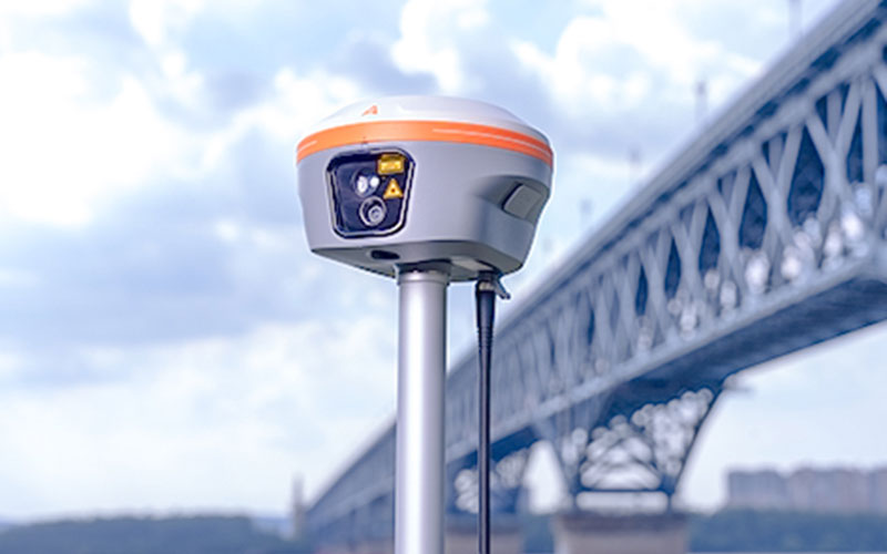
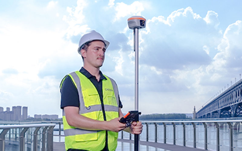
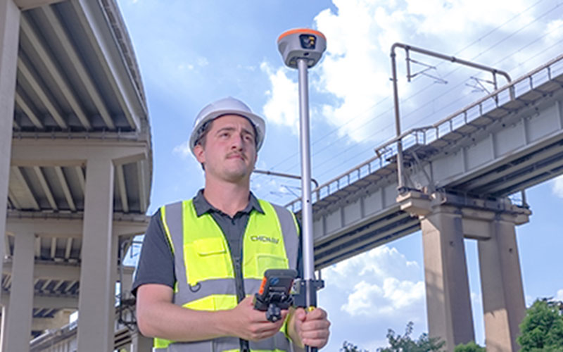
CHCNAV i85 Laser IMU-RTK GNSS Receiver
The CHCNAV i85 is a compact laser-enabled GNSS RTK receiver designed for surveying points that are difficult to reach with a conventional survey pole.
By combining high-precision GNSS, a 200 Hz IMU, dual cameras and an integrated laser rangefinder, the i85 provides a contactless measurement option for topographic, utility, mining and forestry surveys.
Its laser measurement capability can extend the surveyor's working range to up to 150 m, while the IMU compensates for pole tilt during conventional GNSS measurement. The i85 also supports PointSky satellite corrections for projects where a local base station or cellular network is not always convenient.
RTKSurvey supplies the CHCNAV i85 for professional surveying and mapping applications.
Key Features
Integrated Laser Measurement
The i85 combines GNSS RTK with a laser rangefinder, allowing surveyors to measure points that may be inaccessible, unsafe or difficult to occupy directly.
Up to 150 m Laser Range
The integrated laser system provides a maximum measurement range of up to 150 m under suitable conditions, extending the receiver's practical measurement capability.
3 cm Laser Accuracy at 5 m
CHCNAV specifies laser measurement accuracy of up to 3 cm at a 5 m working distance under the stated conditions.
1,892-Channel GNSS
The i85 uses a 1,892-channel GNSS module for multi-constellation and multi-frequency positioning.
200 Hz Auto-IMU
The built-in IMU supports automatic tilt compensation without manual initialization and maintains specified 3 cm accuracy across a 60° tilt range.
PointSky Support
PointSky satellite corrections provide an alternative positioning workflow in locations where cellular network coverage or a local base station is difficult to use.
Lightweight and Rugged
The i85 weighs approximately 800 g, features IP68 protection and is designed to withstand a 2 m drop.
Applications
The CHCNAV i85 is suitable for:
Topographic surveying
Mining surveying
Utility mapping
Forestry surveying
Construction surveying
Difficult-point measurement
Infrastructure surveying
Mapping
Engineering surveying
Technical Specifications
GNSS and Positioning
GNSS: Full GNSS
Channels: 1,892
IMU: 200 Hz
Maximum positioning precision: 0.8 cm H / 1.5 cm V
PointSky precision: 2.5 cm H / 5 cm V
Laser and Visual Functions
Laser: Green laser, Class 3R
Maximum laser measurement range: up to 150 m
Laser measurement accuracy: up to 3 cm at 5 m
Cameras: Dual
AR navigation and stakeout: supported
Communication
Wireless: Bluetooth, Wi-Fi and NFC
UHF modem: 410–470 MHz, Rx/Tx
DistLink: supported
Physical Specifications
Weight: 0.80 kg
Size: 134 × 86 mm
Battery life: up to 20 hours RTK rover
Protection rating: IP68
Drop resistance: 2 m
Operating temperature: -40°C to +65°C
Why Choose the CHCNAV i85?
The main advantage of the i85 is its ability to extend RTK surveying beyond points that can be physically occupied. The integrated laser makes it possible to collect measurements from a distance, while GNSS and IMU functions continue to support conventional RTK field work.
For surveyors working around utilities, structures, terrain obstacles or difficult access points, the i85 provides a more flexible measurement workflow than a standard GNSS receiver.
RTKSurvey.com supplies the CHCNAV i85 for professional surveying, mapping and engineering projects.
Related Products
CHCNAV i89 Visual IMU-RTK GNSS Receiver
CHCNAV i93 IMU-RTK GNSS Receiver



