Welcome to RTKSurvey.com

CHCNAV i93 IMU-RTK GNSS Receiver
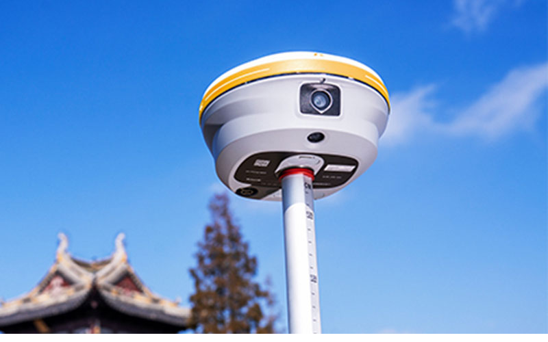
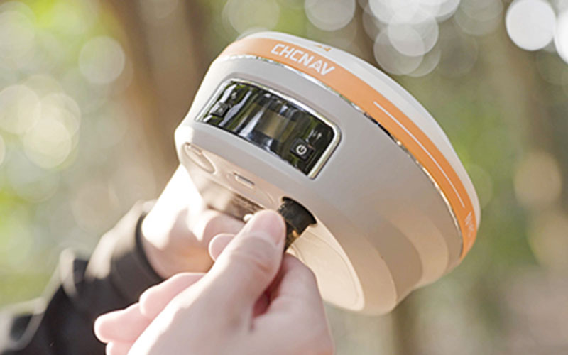
The CHCNAV i93 is a professional IMU-RTK GNSS receiver designed for surveying teams that need more than conventional point measurement. It combines high-performance GNSS positioning, automatic IMU compensation and dual-camera visual surveying in one field receiver.
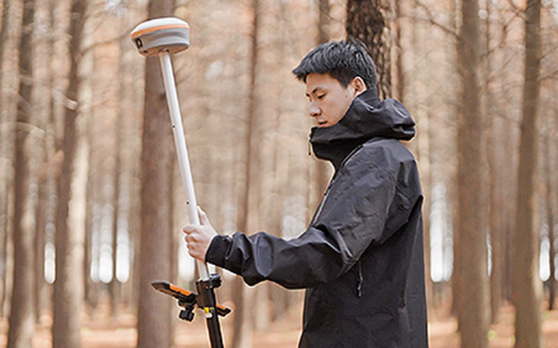
The i93 can work as either an RTK rover or GNSS base station. Its visual surveying functions are useful when direct access to a point is difficult, while AR visual stakeout helps surveyors work with real-time visual guidance.
The receiver also supports PointSky satellite corrections for areas where cellular coverage is limited or setting up a local base station is inconvenient. With 1,892 GNSS channels and a 200 Hz IMU, the i93 is designed for demanding surveying and construction workflows.
RTKSurvey.com supplies the CHCNAV i93 for professional land surveying, mapping and engineering applications.
Key Features
Dual-Camera Visual Surveying
The i93 uses dual cameras to capture visual information and obtain survey-grade 3D coordinates. This allows surveyors to work with points that may be difficult, unsafe or inconvenient to reach directly.
AR Visual Stakeout
Visual guidance can assist with construction and surveying stakeout by showing the direction and distance to target points directly in the field.
1,892-Channel GNSS
The i93 uses a 1,892-channel GNSS configuration for multi-constellation and multi-frequency satellite tracking.
200 Hz Auto-IMU
The built-in 200 Hz IMU provides automatic pole tilt compensation, reducing the need to keep the survey pole perfectly vertical during field measurement.
PointSky Satellite Corrections
PointSky provides satellite-delivered positioning corrections for areas where a local base station or reliable cellular network is difficult to use. The official product information specifies 3 cm positioning accuracy within 3–10 minutes under the stated conditions.
Rover and Base Station Operation
The i93 can be configured as either an RTK rover or GNSS base station, with integrated 4G and UHF communication for different correction workflows.
Applications
The CHCNAV i93 is suitable for:
Topographic surveying
Boundary surveying
Construction surveying
As-built surveying
Building and facade measurement
3D modeling
Visual point measurement
Construction stakeout
Engineering surveying
Mapping
Technical Specifications
GNSS
GNSS: Full GNSS
Channels: 1,892
IMU: 200 Hz
Maximum positioning precision: 0.8 cm H / 1.5 cm V
PointSky precision: 2.5 cm H / 5 cm V
RTK rover and base station operation: supported
Visual Surveying
Cameras: Dual
Visual surveying: supported
AR visual stakeout: supported
3D modeling: supported
Communication
Cellular: 4G LTE
UHF modem: 410–470 MHz, Rx/Tx
Wireless: Bluetooth, Wi-Fi and NFC
Physical Specifications
Weight: 1.15 kg
Dimensions: 152 × 81 mm
Battery life: up to 34 hours RTK rover
Protection rating: IP68
Drop resistance: 2 m
Operating temperature: -40°C to +65°C
Why Choose the CHCNAV i93?
The i93 is suited to projects where visual measurement, stakeout and flexible GNSS correction options are as important as conventional RTK positioning.
Its combination of 1,892-channel GNSS, Auto-IMU, dual cameras and PointSky support gives survey teams additional options when working around buildings, structures and other difficult field conditions.
RTKSurvey.com supplies the CHCNAV i93 and provides product information and quotation support for international customers.
Related Products
CHCNAV i89 Visual IMU-RTK GNSS Receiver
CHCNAV i85 Laser IMU-RTK GNSS Receiver



