Welcome to RTKSurvey.com

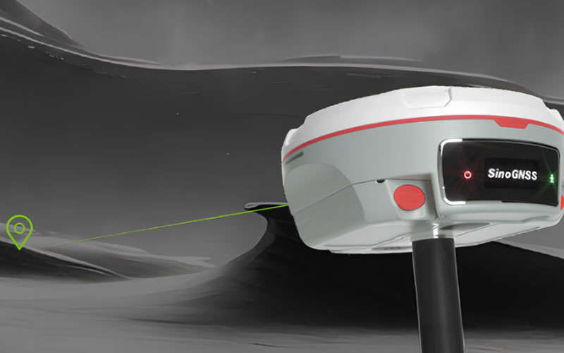

ComNav Mars Pro Laser RTK GNSS Receiver
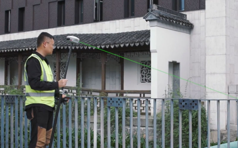
The ComNav Mars Pro combines GNSS RTK positioning with laser measurement for surveying points that are difficult or unsafe to reach with a conventional survey pole. Its 1668-channel GNSS engine, integrated IMU and green laser provide an alternative workflow for offset measurements in obstructed areas. A built-in OLED color display provides basic field status information, while UHF and network connectivity support different correction methods. RTKSurvey.com supplies the Mars Pro for professional surveying and construction applications.
Key Features
• 1668-channel GNSS tracking
• Green laser for measuring inaccessible or obstructed points
• Laser measurement range up to 10 m
• Up to 120° tilt survey capability
• 2.5 cm tilt survey accuracy
• Calibration-free IMU
• OLED color display
• UHF, Wi-Fi and 4G connectivity
• Up to 20 hours operating time
• IP67 protection
Core Specifications
GNSS Channels: 1668
RTK Accuracy: H 8 mm + 1 ppm RMS; V 15 mm + 1 ppm RMS
Tilt Survey: Up to 120°, 2.5 cm accuracy
Laser Range: Up to 10 m
Laser Accuracy: (3–5) mm + 1 ppm at room temperature
Laser Measurement Frequency: 3 Hz typical; 5 Hz maximum
UHF Frequency: 410–470 MHz
UHF Transmit Power: 0.5 W / 1 W / 2 W adjustable
Weight: 1.2 kg with two batteries
Battery: 2 × 3400 mAh
Operating Time: Up to 20 hours
Memory: 8 GB
Protection: IP67
Operating Temperature: -40°C to +65°C
Applications
The Mars Pro is suitable for land surveying, construction measurement, GIS fieldwork and other projects involving walls, structures, restricted areas or points that cannot be reached easily with a survey pole.
Related Products



