Welcome to RTKSurvey.com

ComNav N3 IMU GNSS Receiver
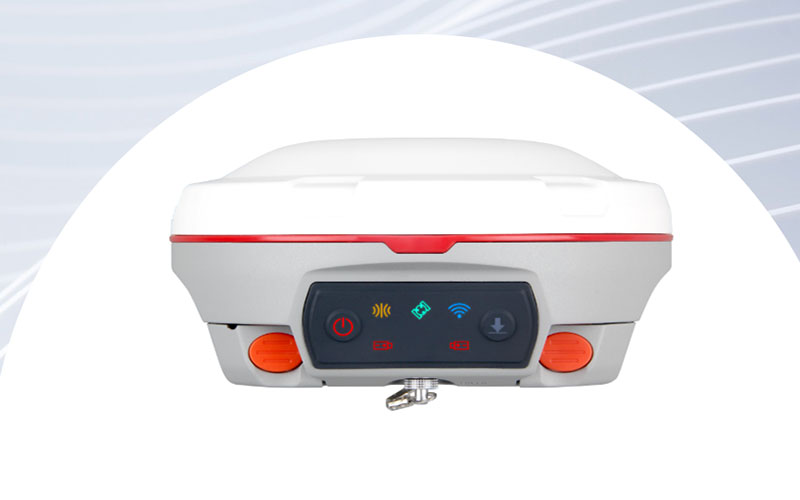
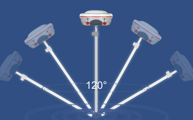
The ComNav N3 is an IMU-enabled GNSS RTK receiver designed for routine surveying, mapping and construction work. It combines multi-constellation tracking, calibration-free tilt measurement, UHF and network connectivity in a rugged field-ready unit. With up to 120° tilt survey capability and long operating time, the N3 can help reduce the need to keep the survey pole vertical during field measurements. RTKSurvey supplies the ComNav N3 for professional surveying applications.
Key Features
• 1198-channel GNSS receiver supporting GPS, BeiDou, GLONASS, Galileo, QZSS, IRNSS and SBAS
• Calibration-free IMU for tilt surveying up to 120°
• Up to 2.5 cm accuracy for tilt survey
• Enhanced UHF with up to 15 km working range
• Wi-Fi, 4G and Bluetooth connectivity
• Up to 24 hours typical operating time
• IP67 protection for outdoor field conditions
• Built-in web interface for static data download and firmware updates
Core Specifications
GNSS Channels: 1198
RTK Accuracy: H 8 mm + 1 ppm RMS; V 15 mm + 1 ppm RMS
Static Accuracy: H 2.5 mm + 0.5 ppm RMS; V 5 mm + 0.5 ppm RMS
Tilt Survey: Up to 120°, 2.5 cm accuracy
UHF Frequency: 410–470 MHz
UHF Transmit Power: 0.5 W / 1 W / 2 W adjustable
UHF Working Range: 3–15 km
Battery: 2 × 3400 mAh
Typical Operating Time: Up to 24 hours
Weight: 1.2 kg with two batteries
Memory: 8 GB
Protection: IP67
Operating Temperature: -40°C to +65°C
Applications
The ComNav N3 can be used for topographic surveying, construction layout, boundary surveying, road and infrastructure projects, mapping and general RTK fieldwork.
Related Products



